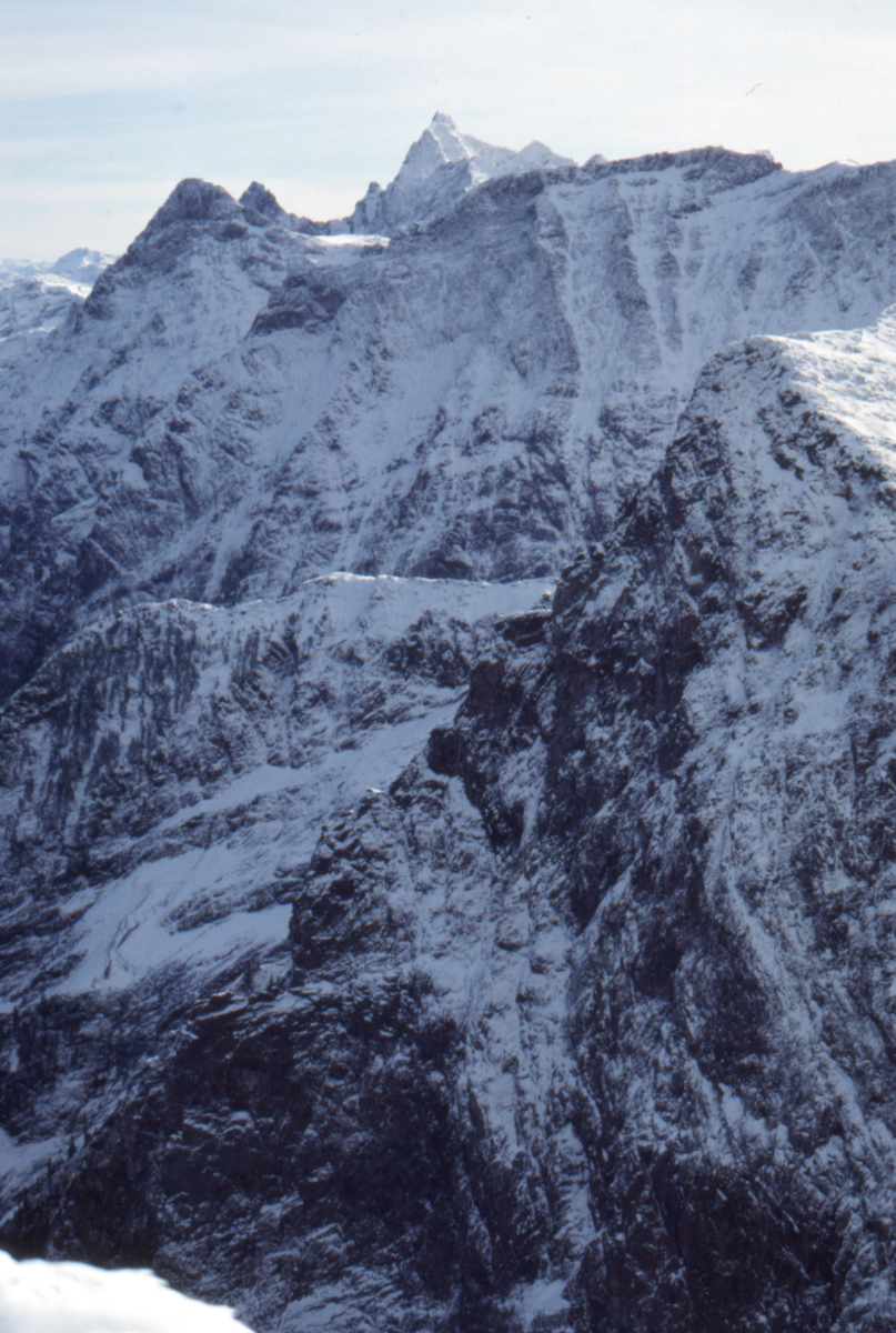
Dateline: June 11, 2025.
Chilliwack, British Columbia, 1988-1990
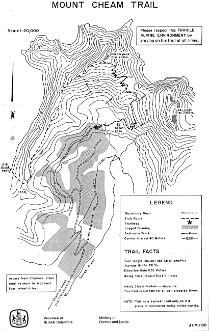
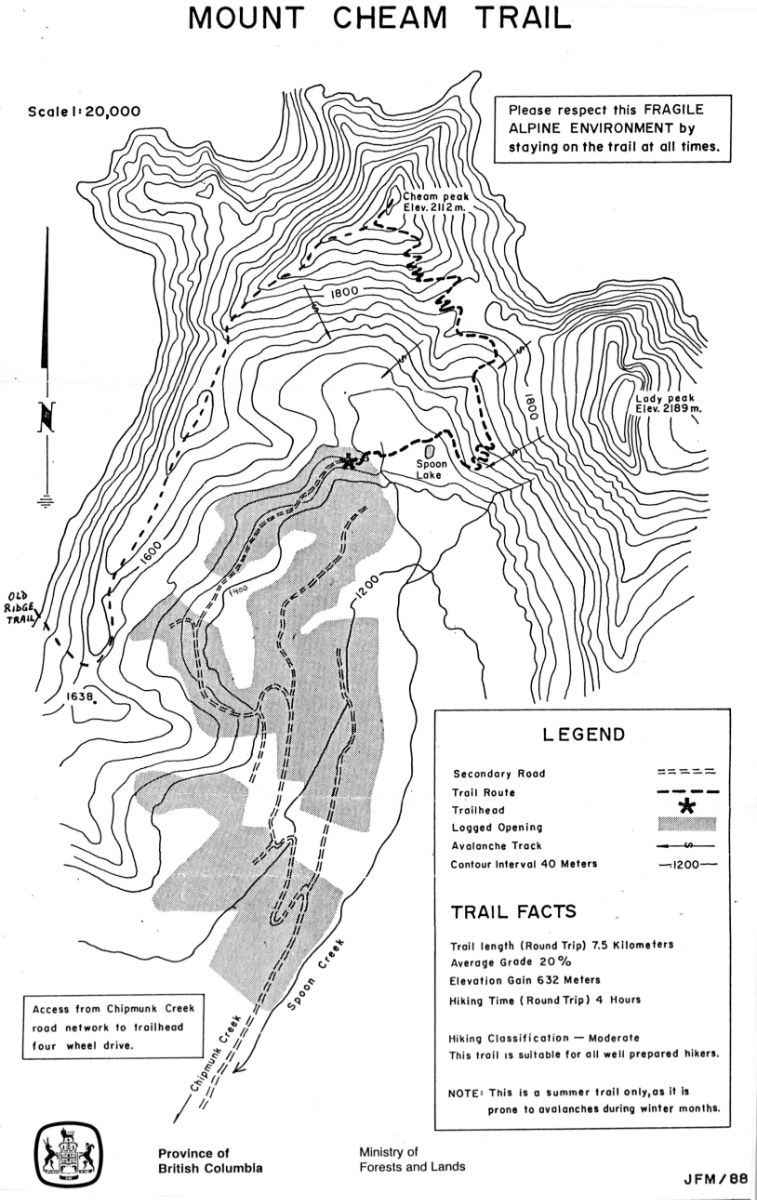
Map of the Mount Cheam Trail in 1988, published by
the BC Ministry of Forests and Lands.
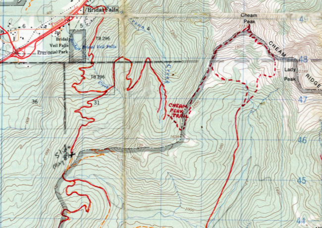
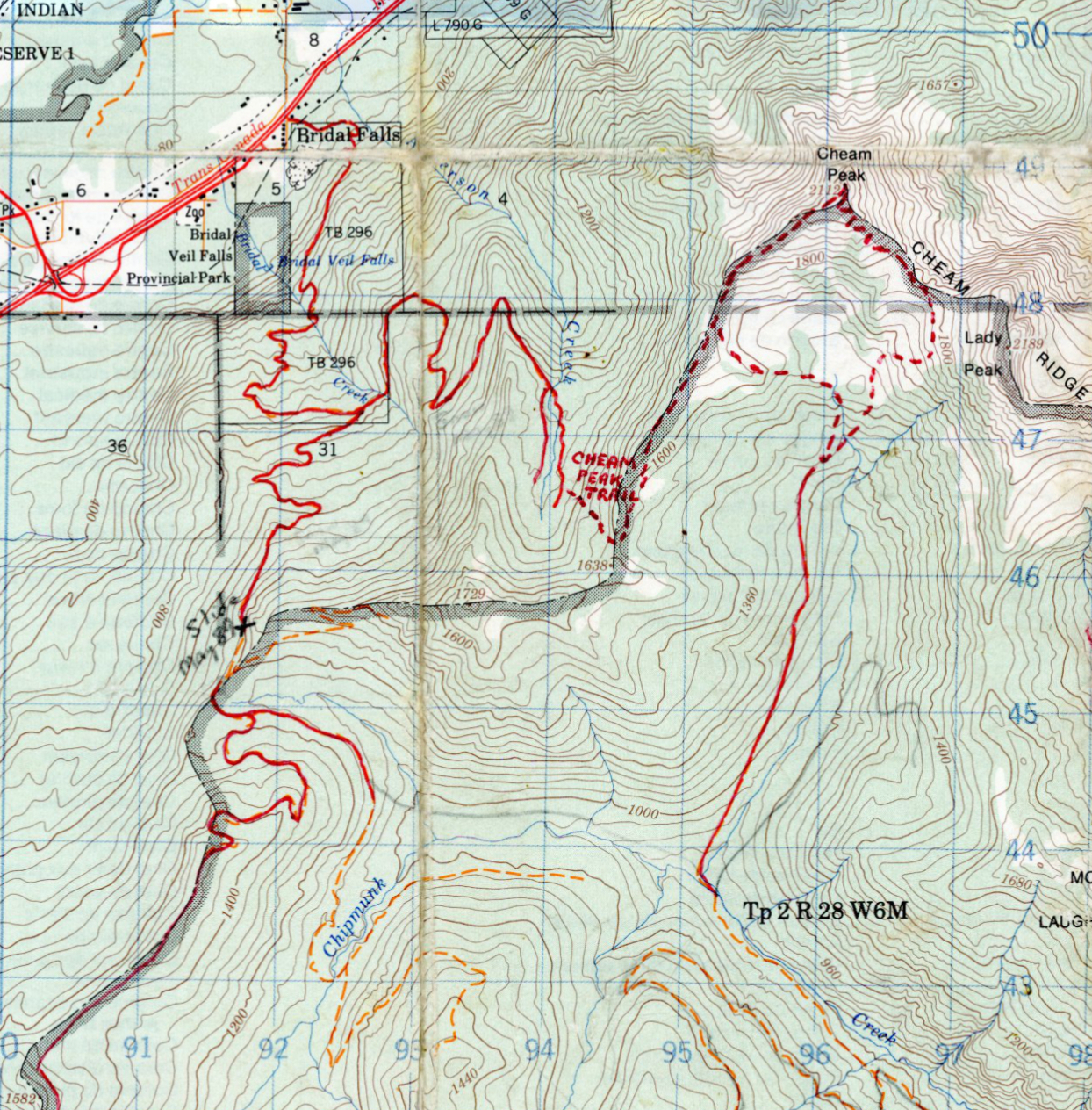
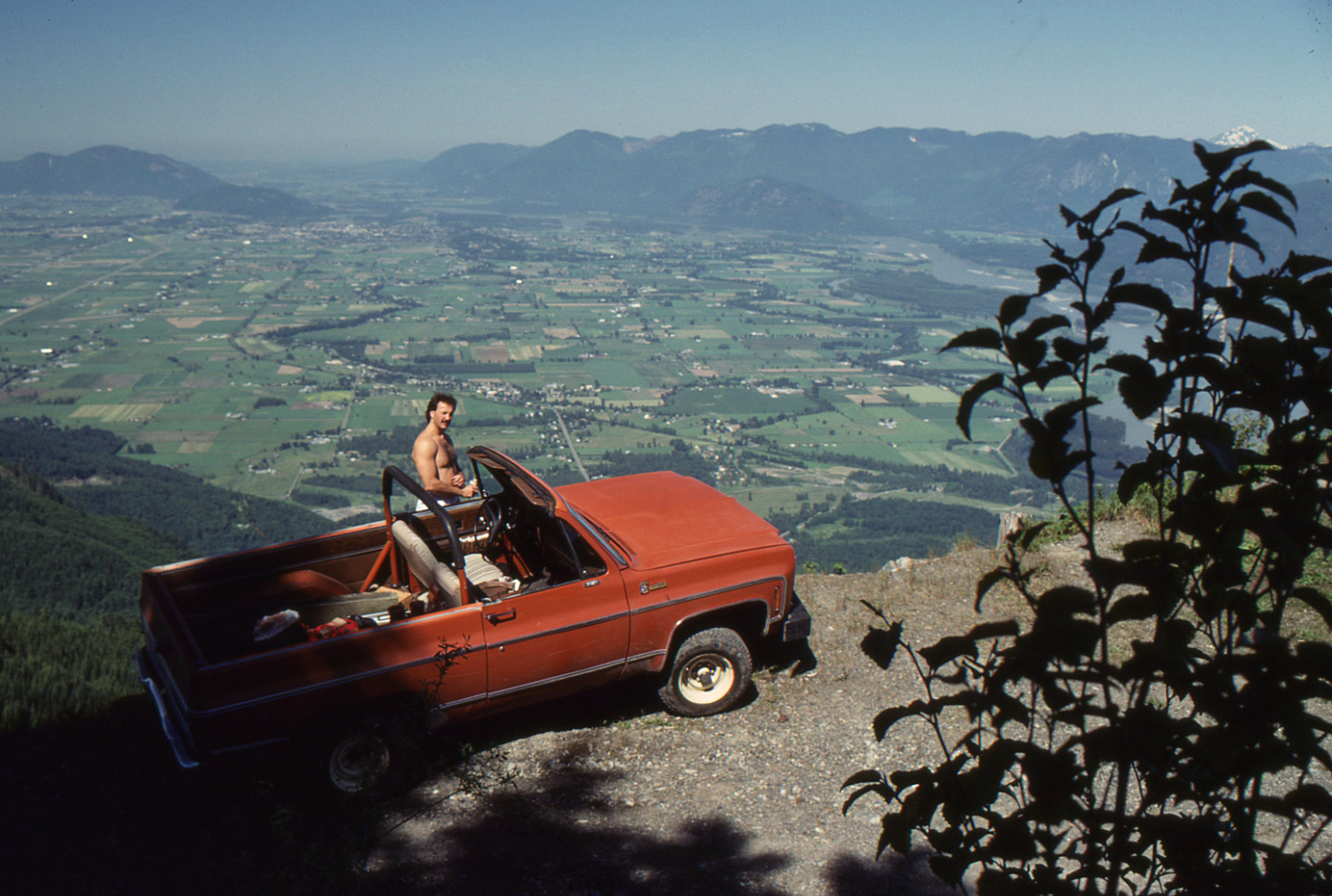
My edited map 92 H/4, showing roads drivable with my 1970 Chev Blazer in 1989, and the Cheam Peak trails.
The trail to the left is the Ridge Trail.

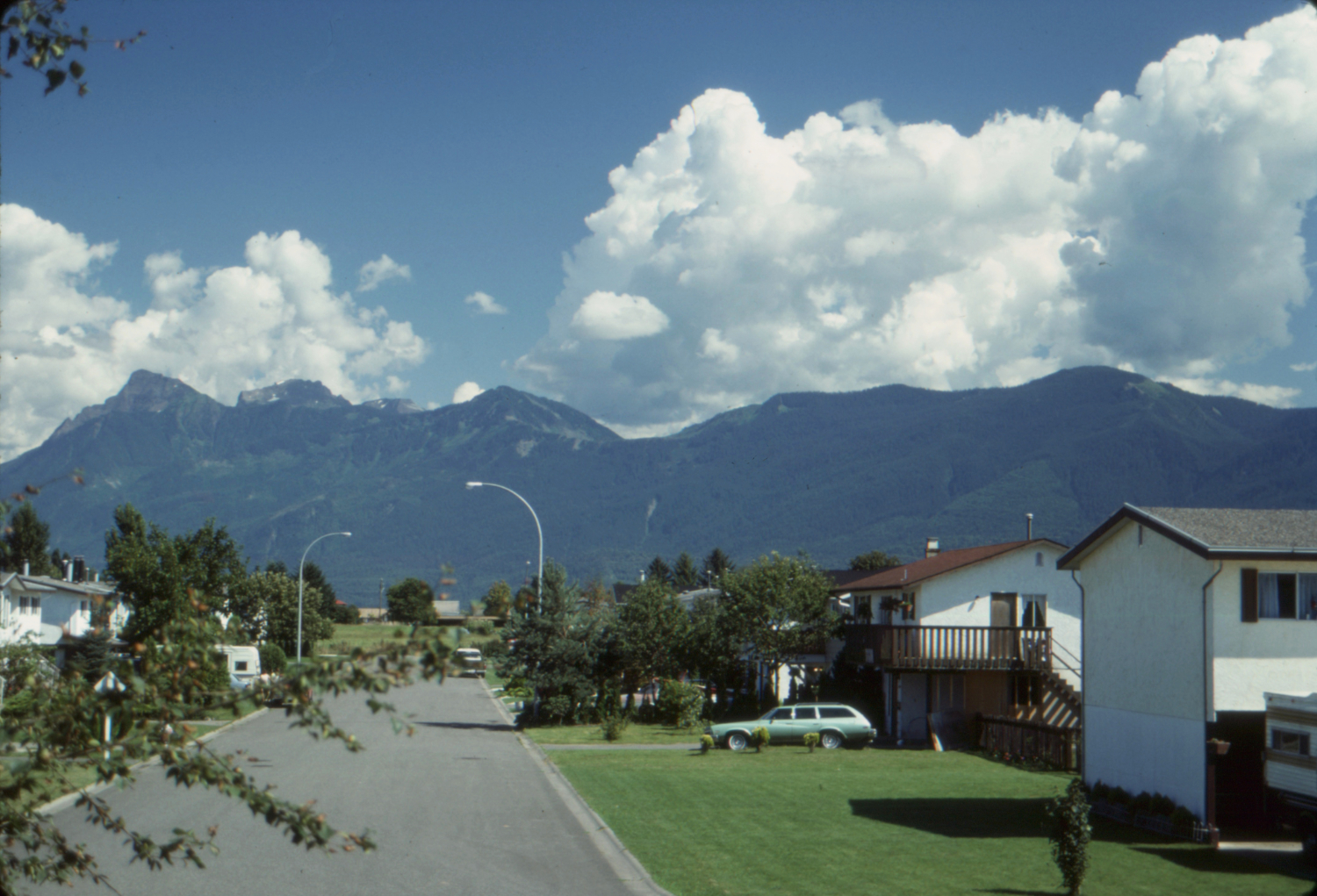
Cheam Peak on the left, seen from the living room of our home in Chilliwack - August 26, 1989.
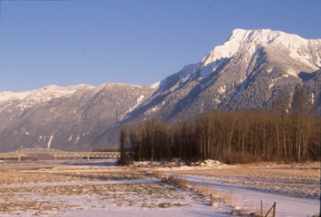
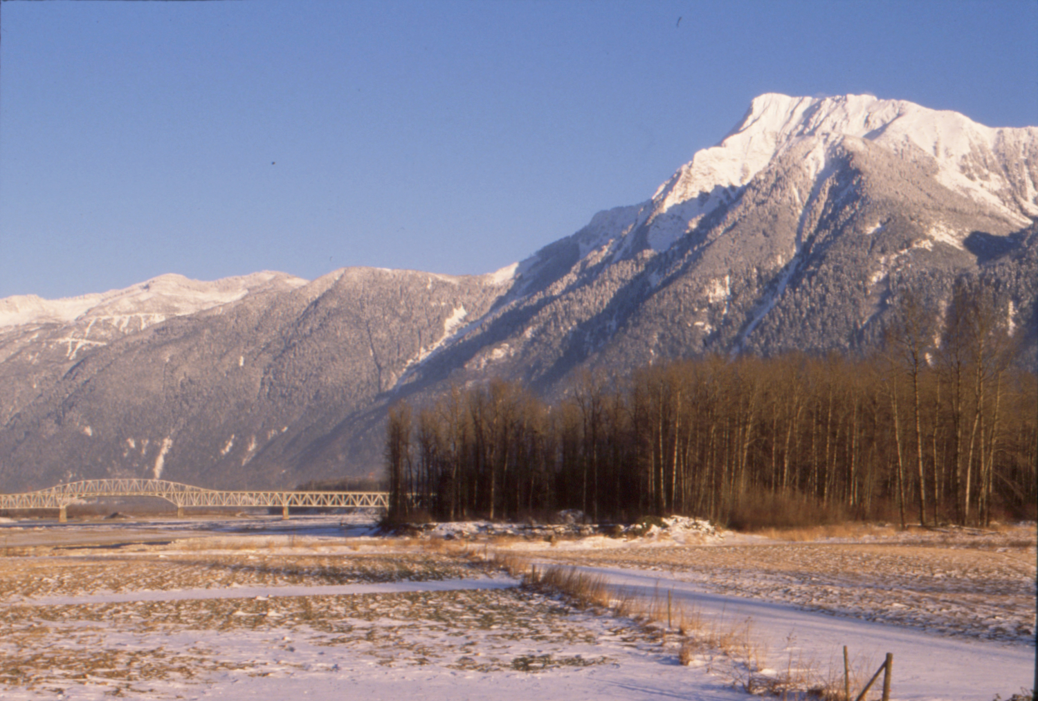
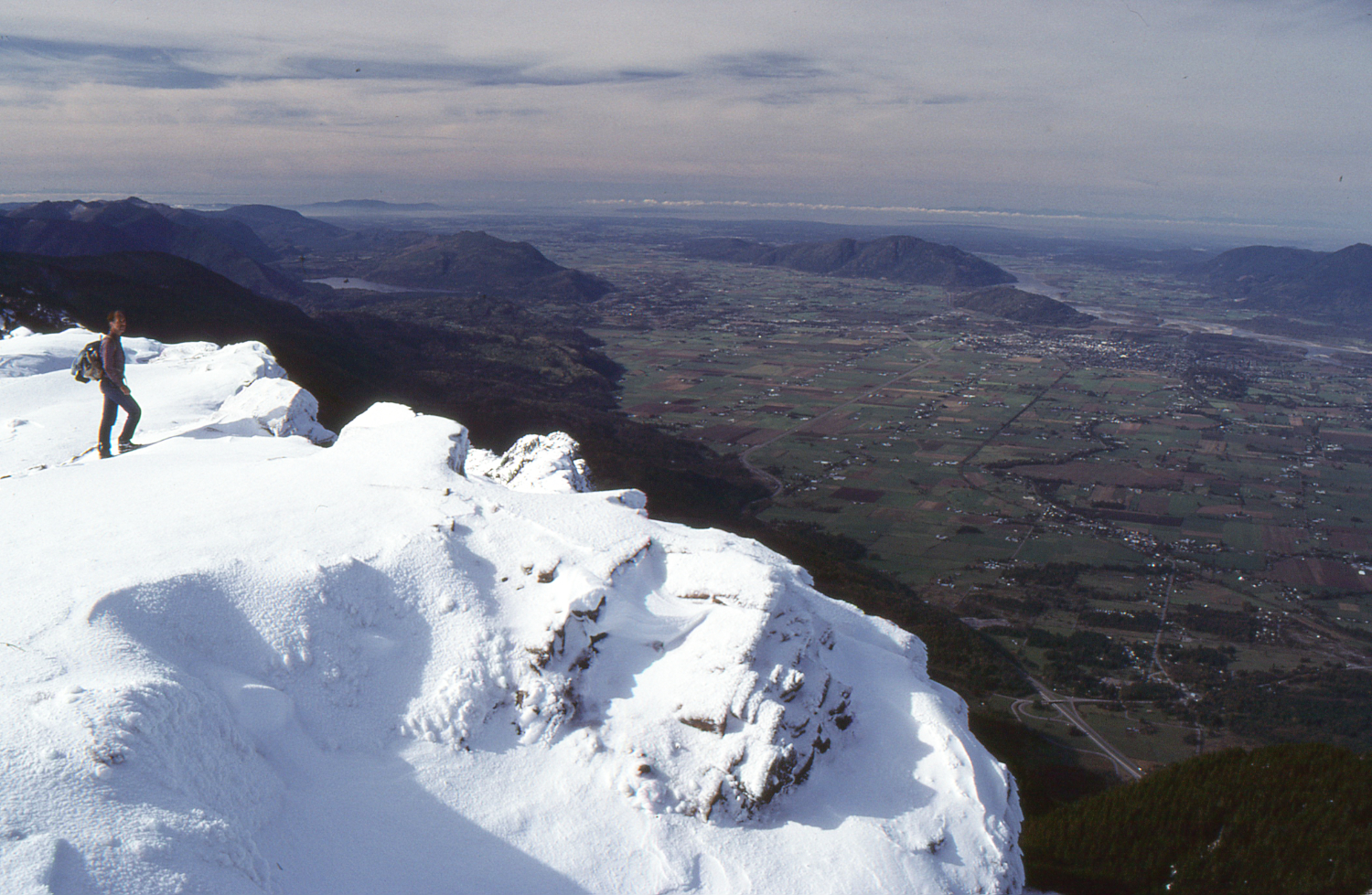
Cheam Peak is very visible from much of the upper Fraser Valley. The Agassiz-Rosedale Bridge is on the left. February 16, 1990.
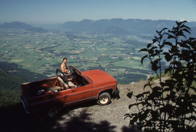
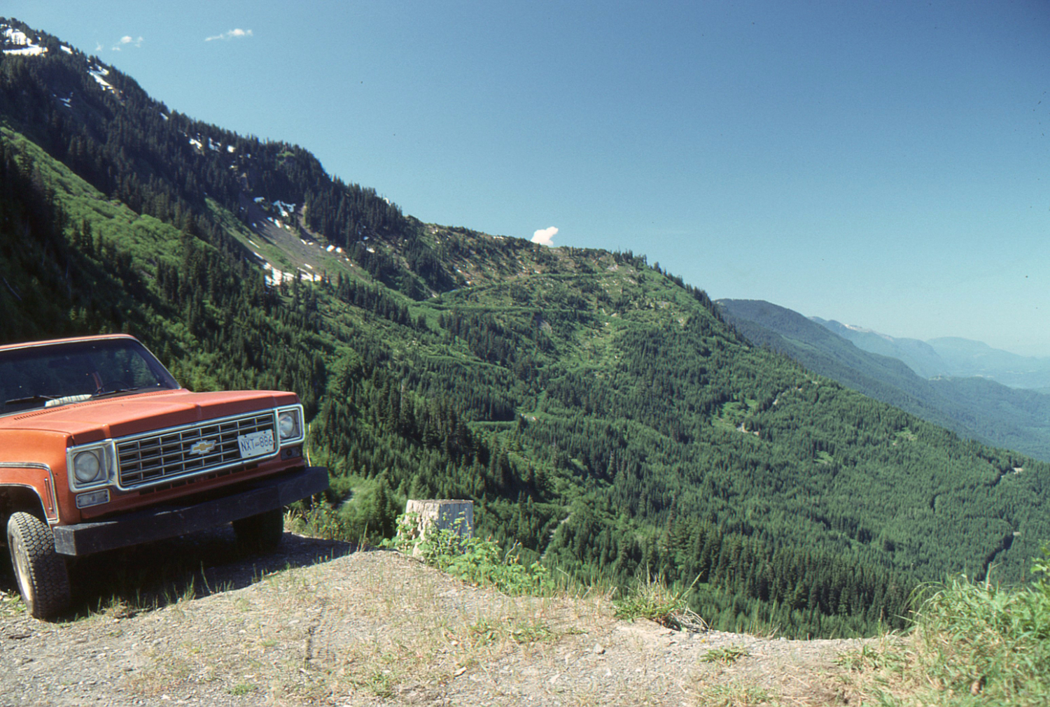
Captioned as the Cheam Peak Road, but this is the road to access the Ridge Trail from the west - June 24, 1989.
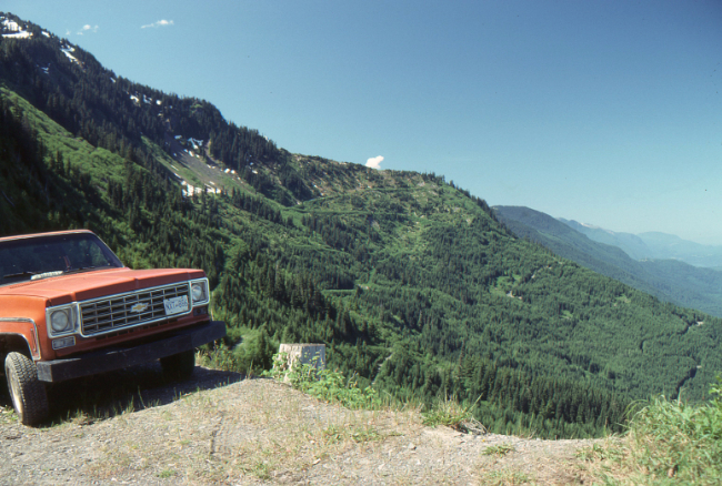
On the road to access the Ridge Trail from the west - June 24, 1989.
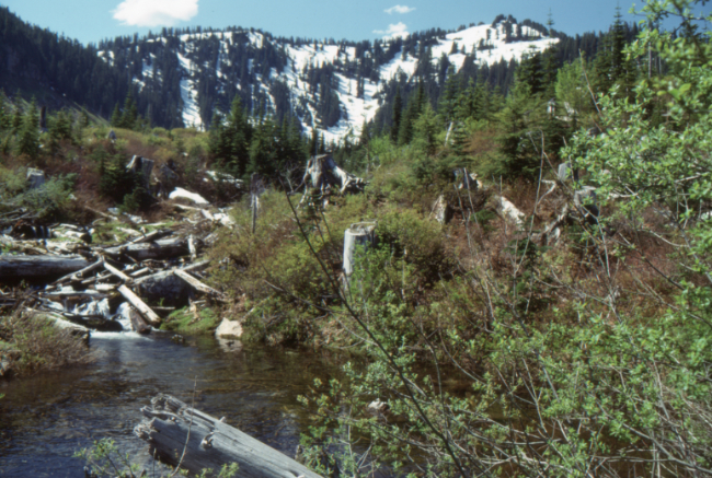
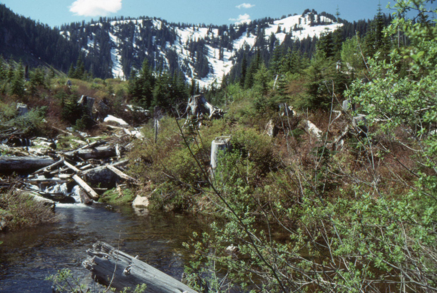
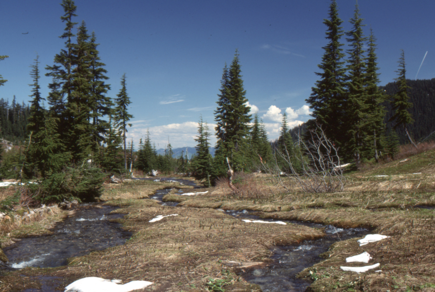
Anderson Creek on the Cheam Peak Road - June 24, 1989.
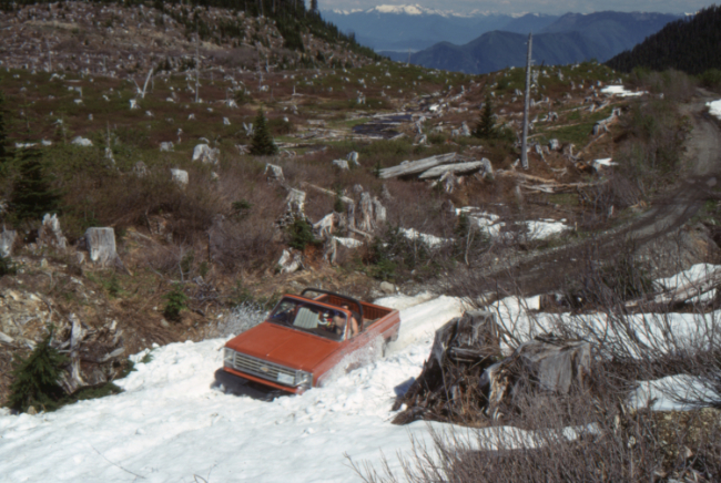
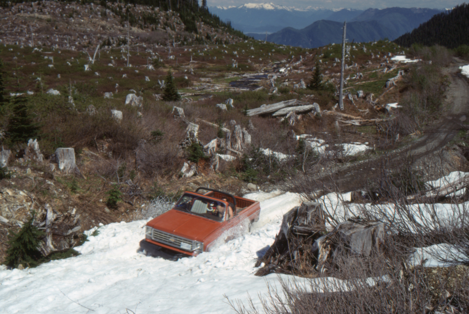
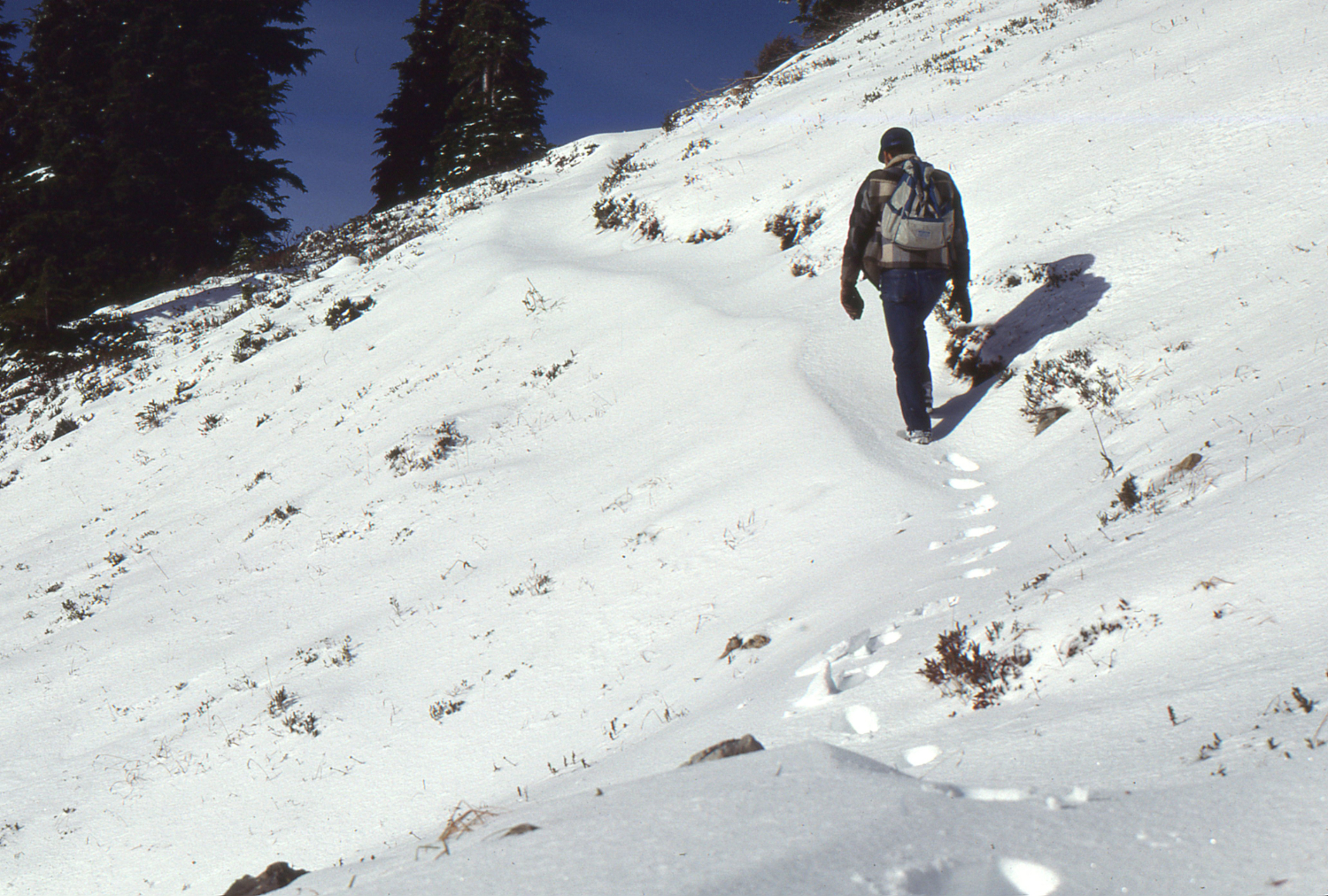
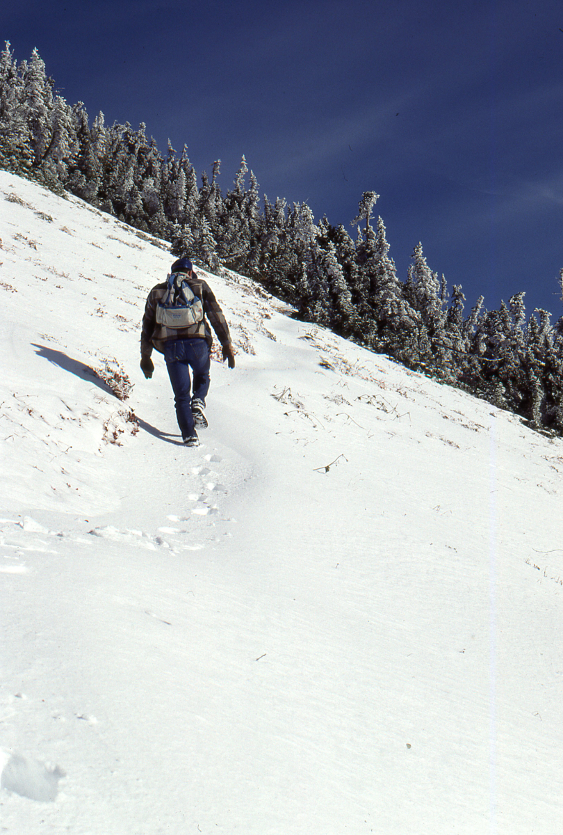
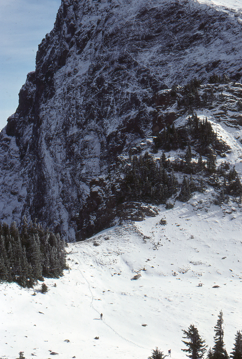
My buddy Joe Ackerman trying to break trail on the Cheam Peak Road - June 24, 1989.
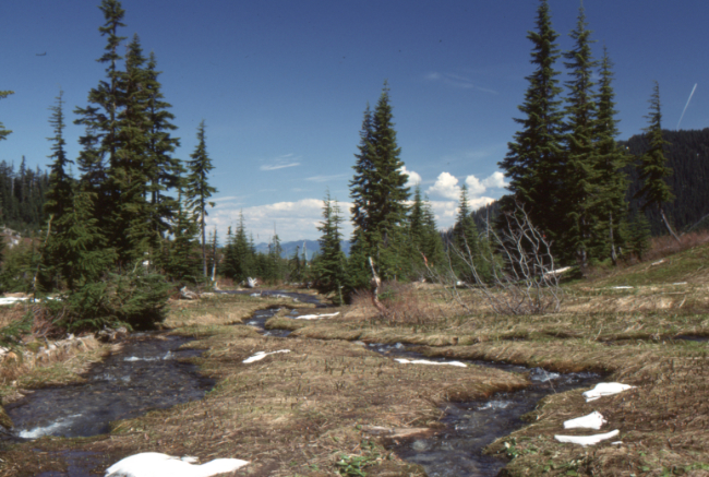
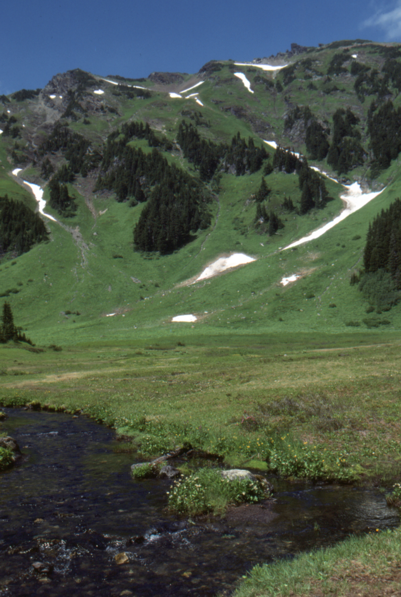
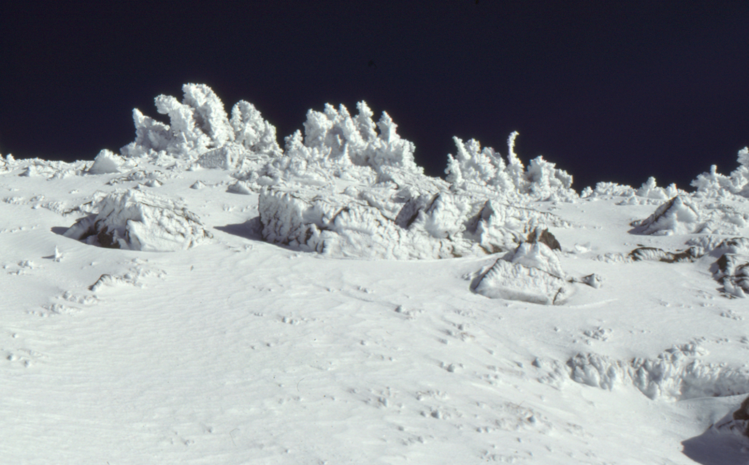
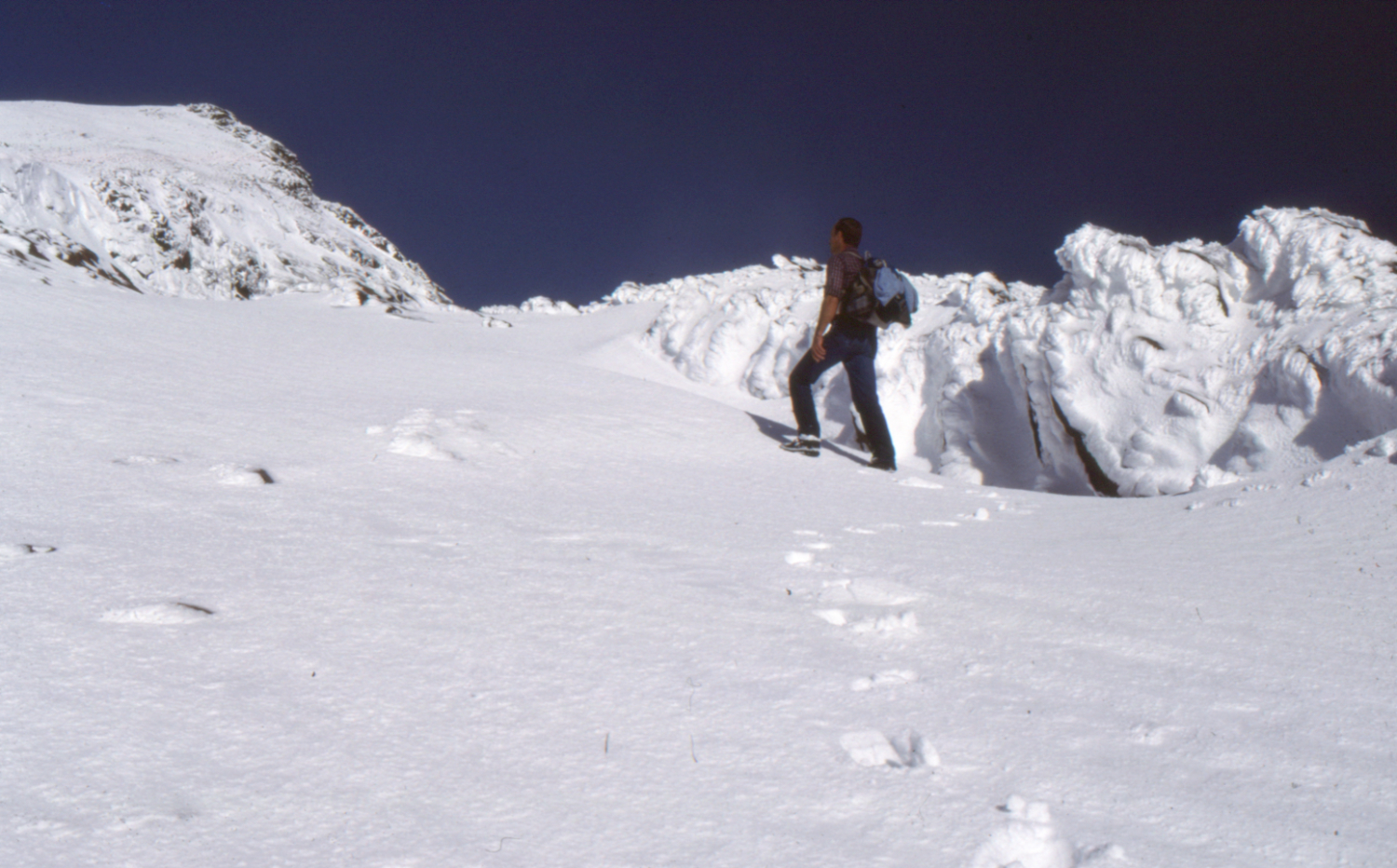
Near the head of Anderson Creek on the Cheam Peak Road - June 24, 1989.
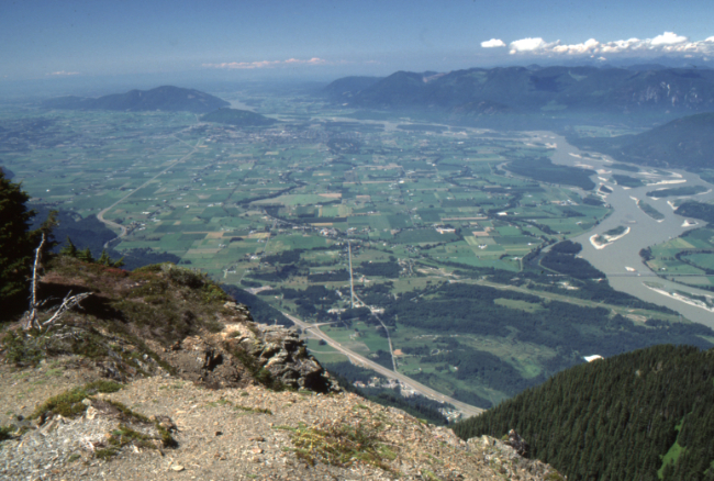
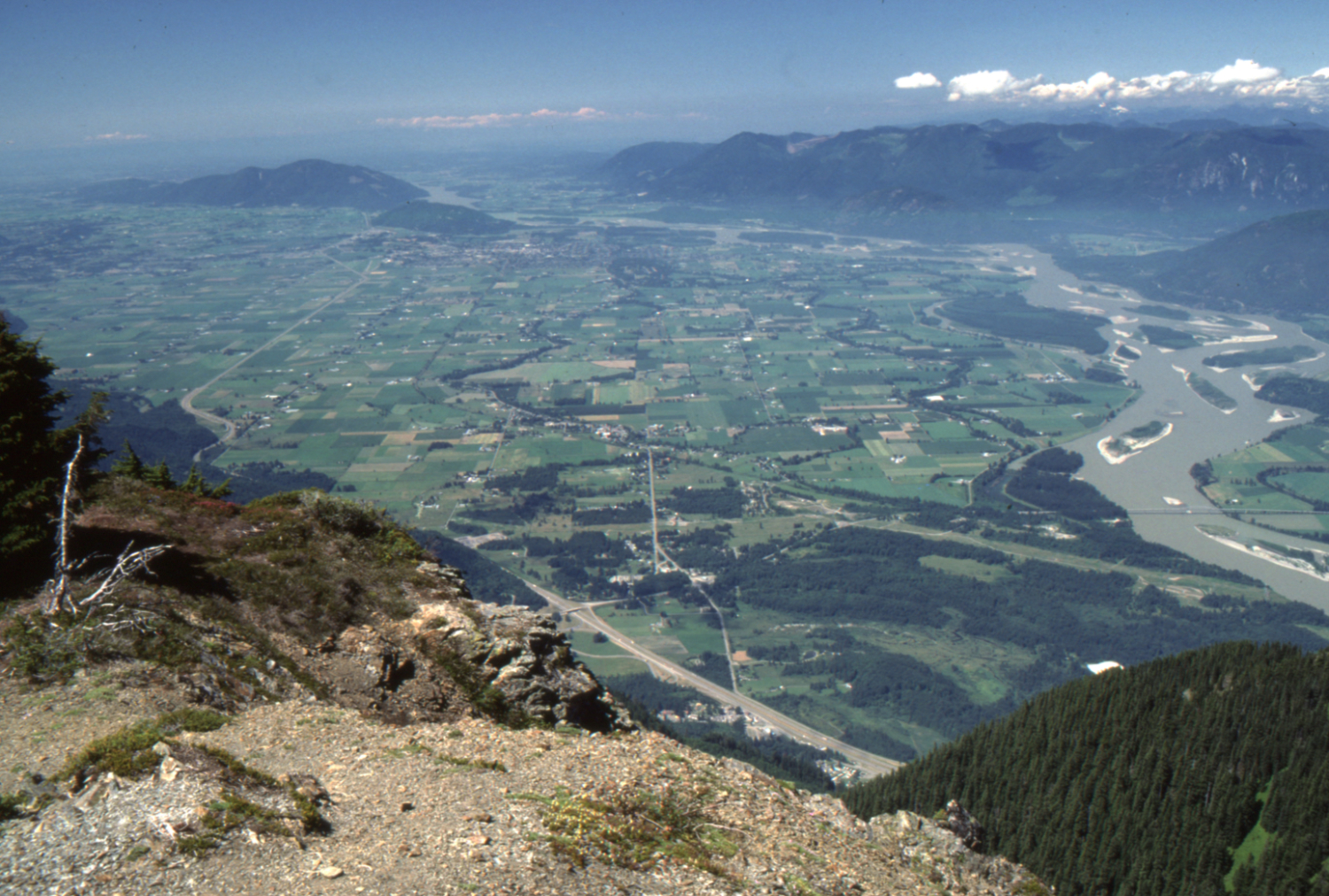
The view west down the Fraser River from the Ridge Trail - July 23, 1989.

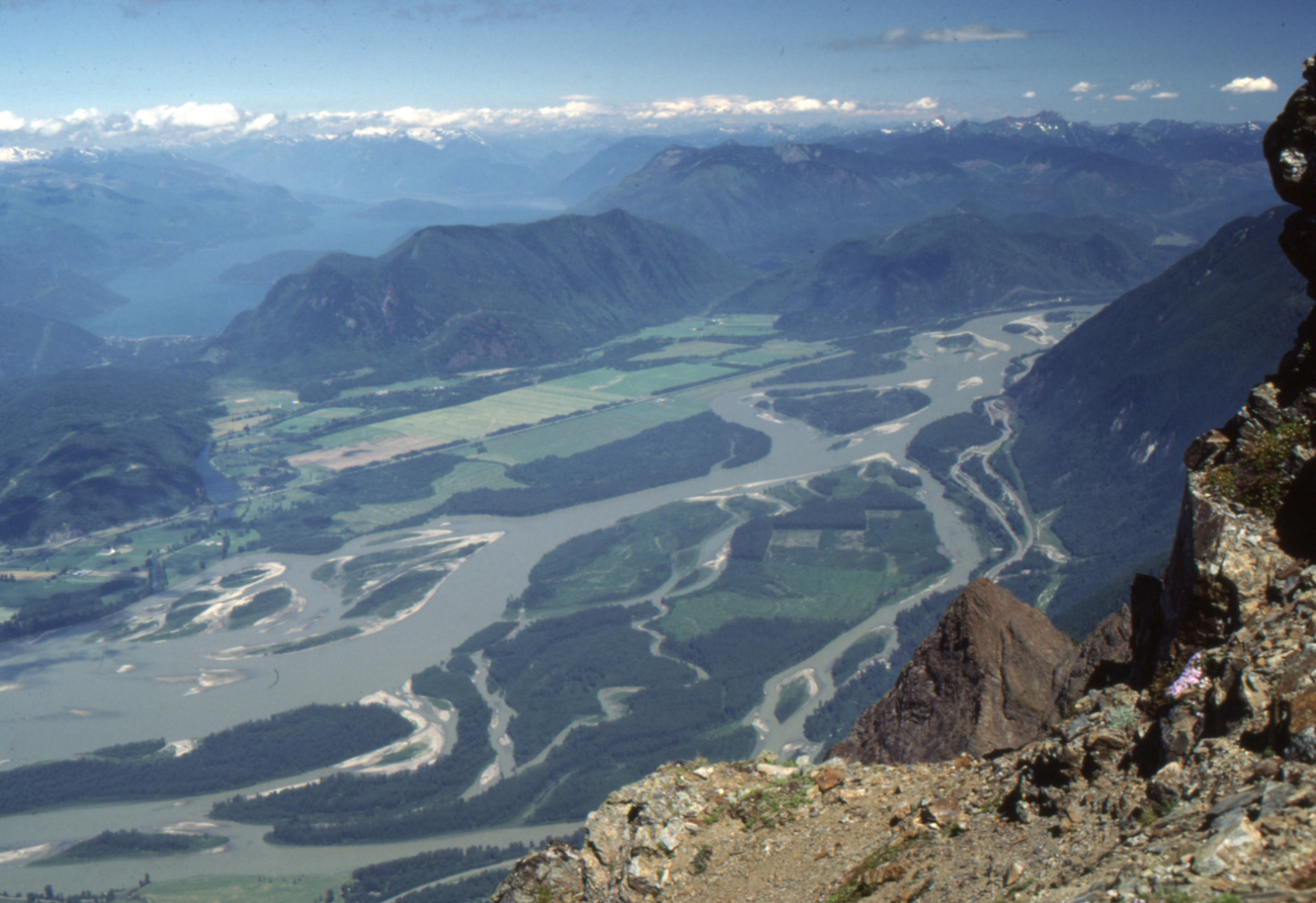
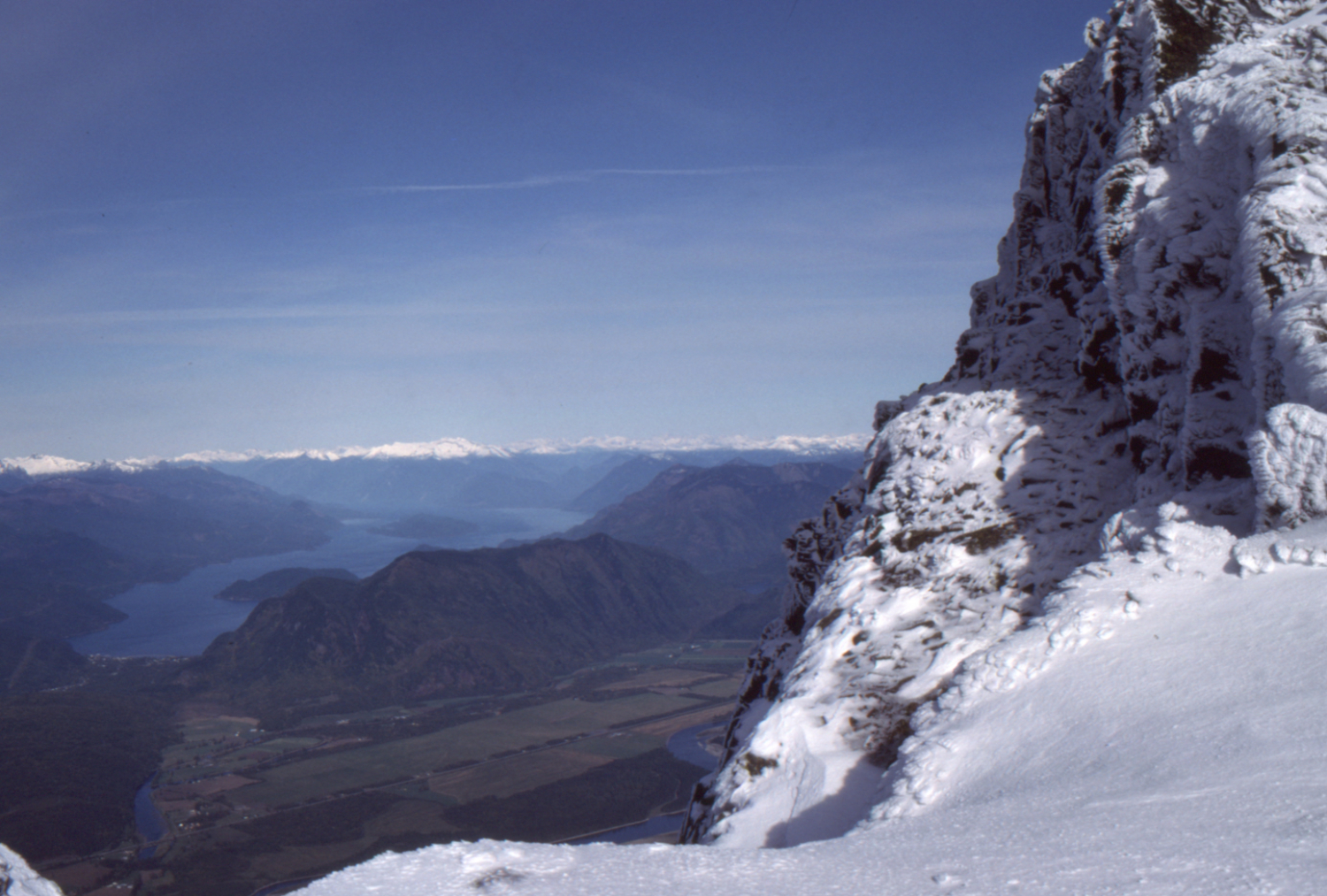
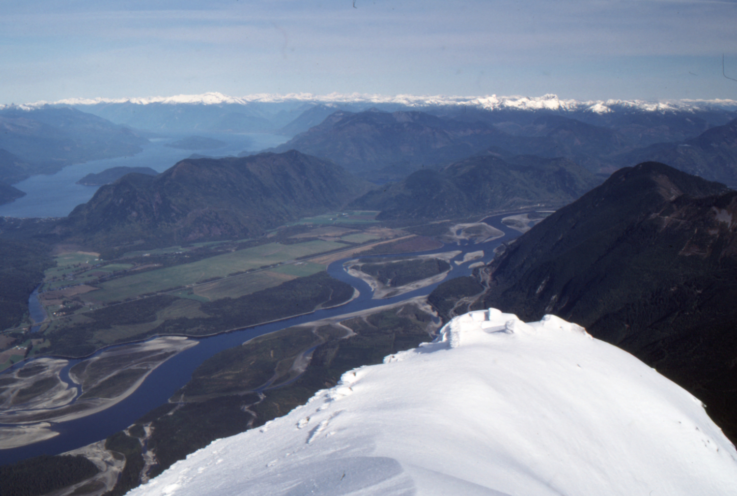
The view north up the Fraser River from the Ridge Trail, with Harrison Lake to the upper left - July 23, 1989.
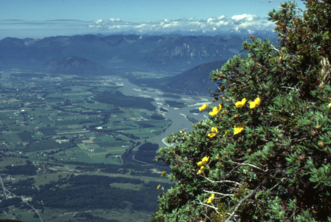
The view to the northwest from the Ridge Trail, with Shrubby cinquefoil (Dasiphora fruticosa) in the foreground - July 23, 1989.
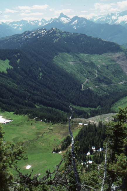
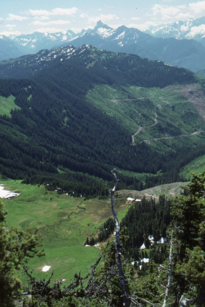
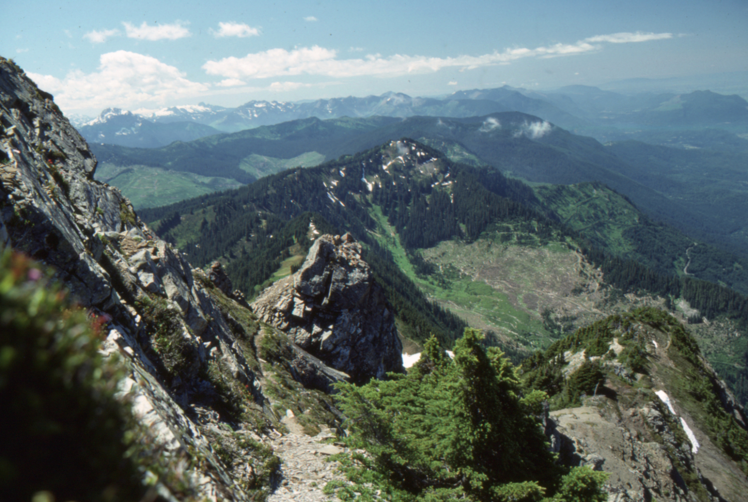
Looking down the Chipmunk Valley from the Ridge Trail - July 23, 1989.

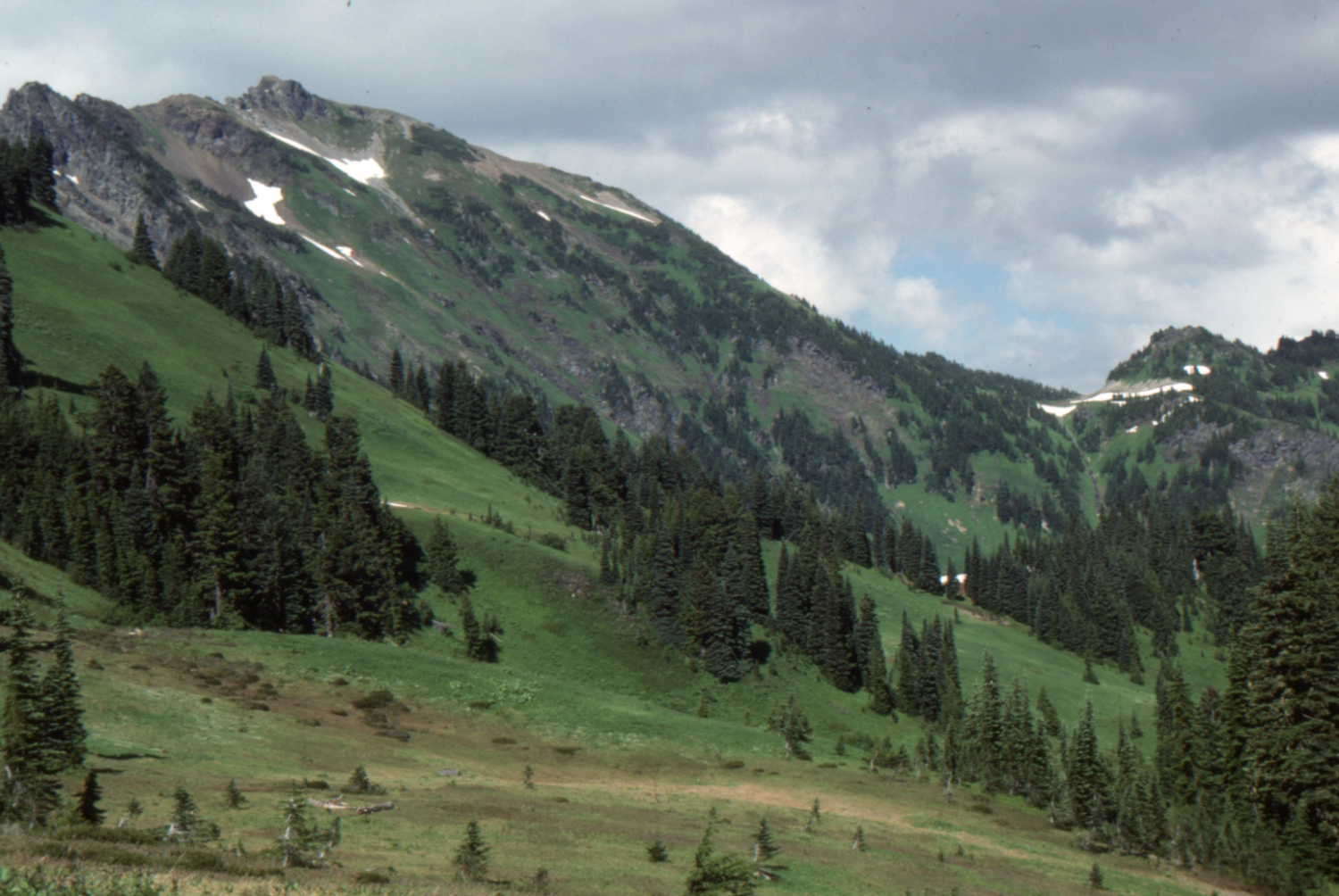
The view to the south from the Ridge Trail - July 23, 1989.

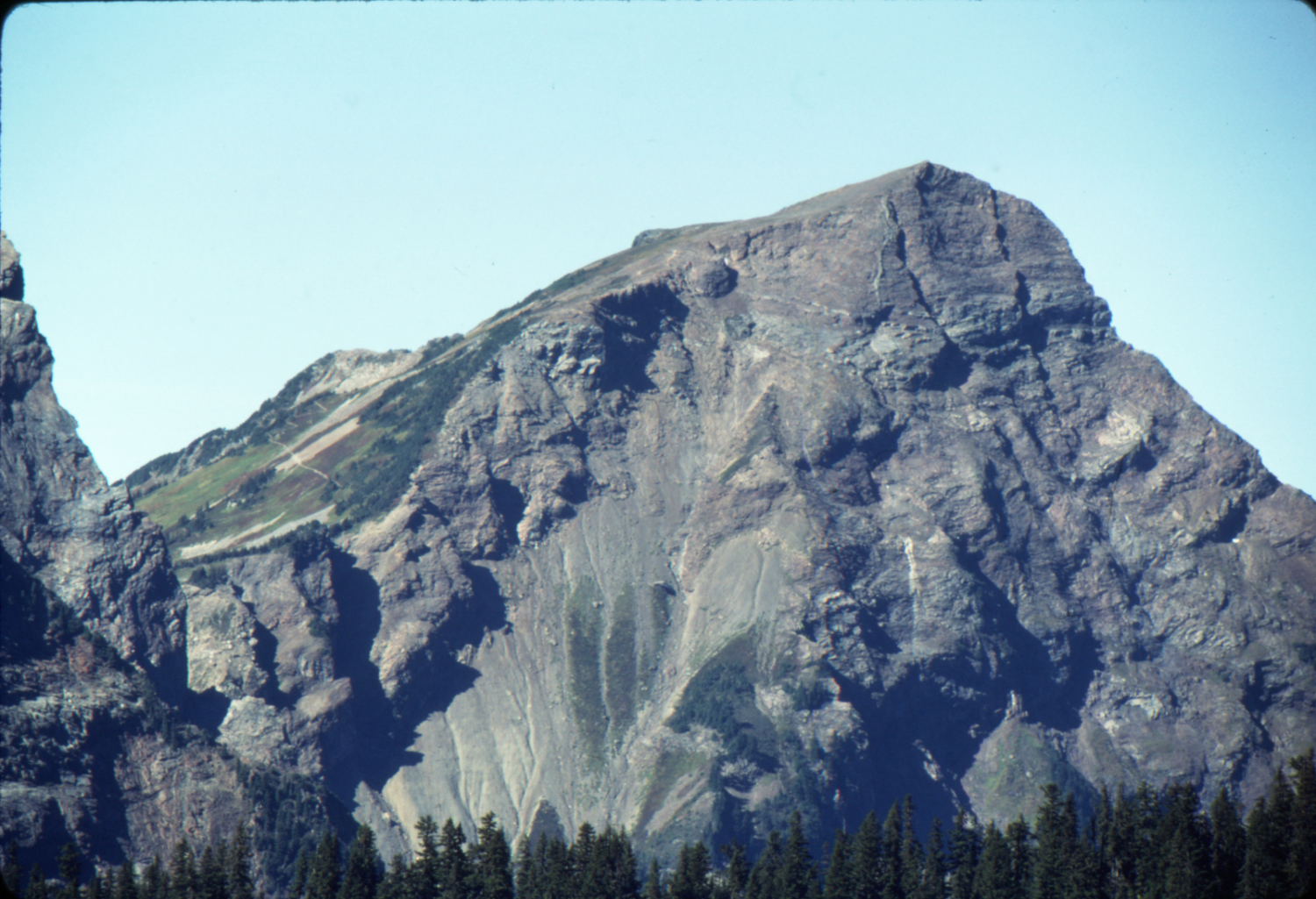
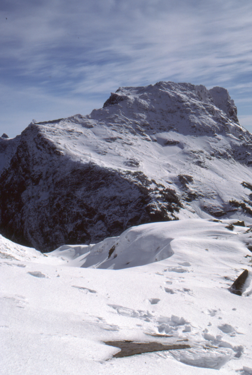
Cheam Peak from the Ridge Trail - July 23, 1989.
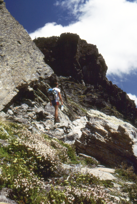
Cheam Peak from the Ridge Trail - July 23, 1989.
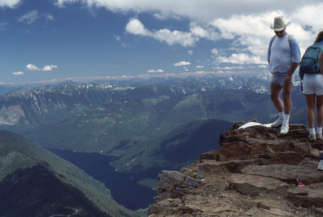
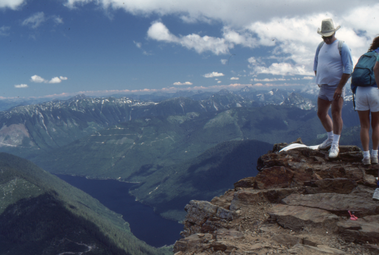
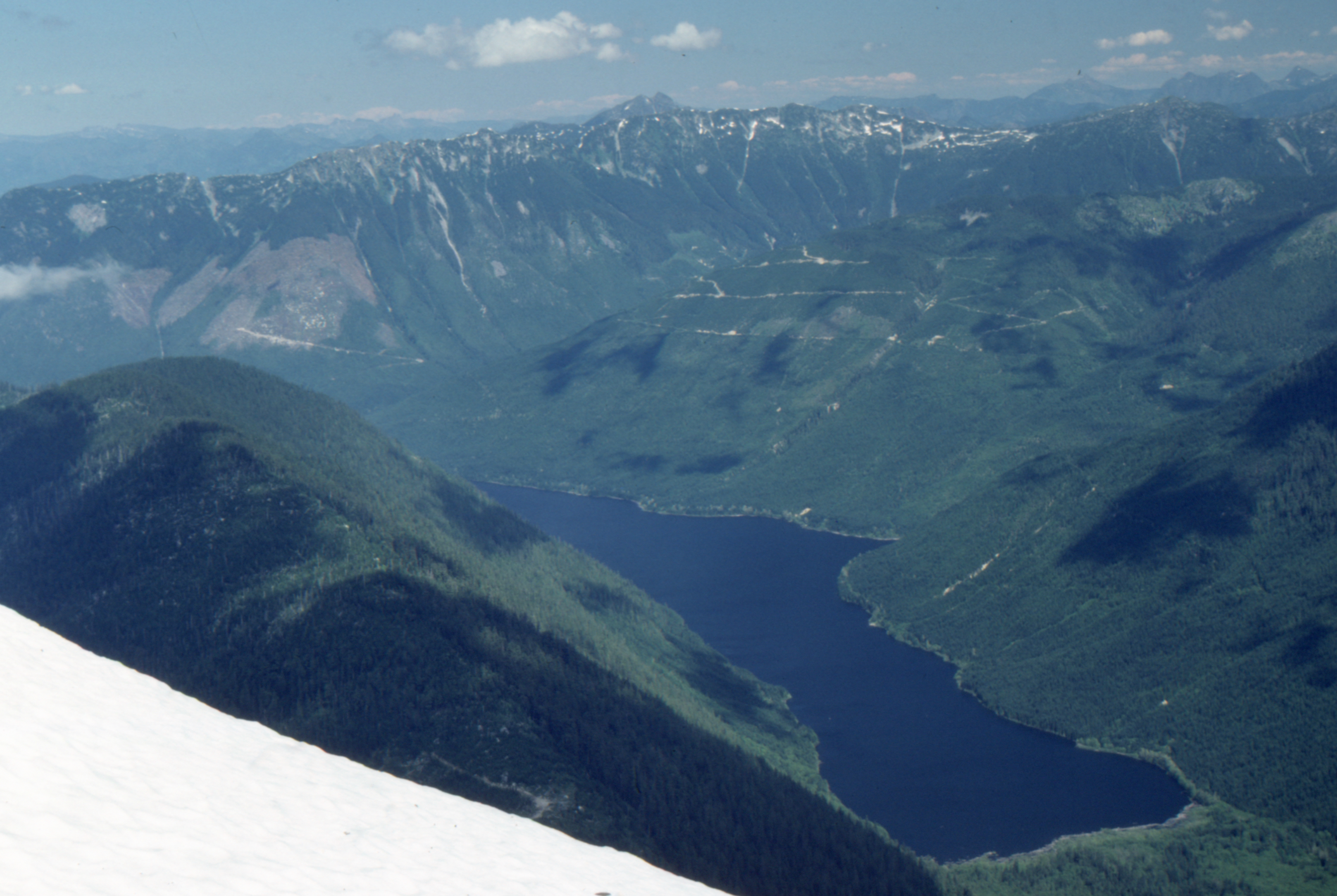
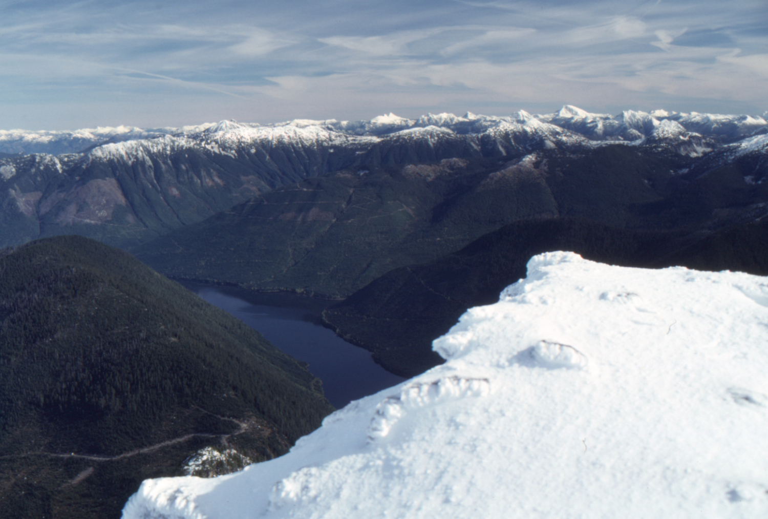
Cheam Peak summit, with Wahleach Lake below to the northeast - July 23, 1989.
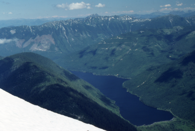
Wahleach Lake, from Cheam Peak summit - July 23, 1989.
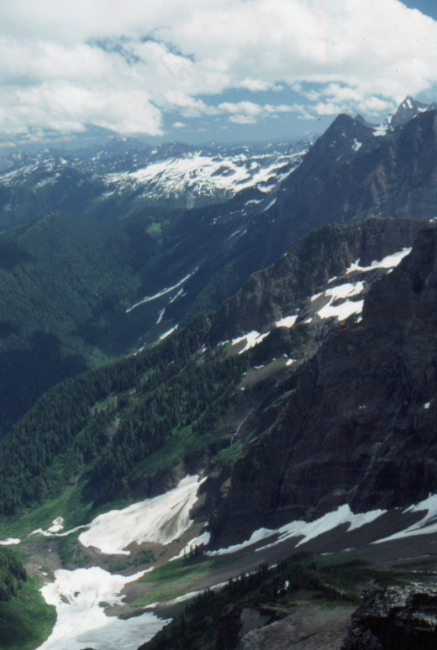
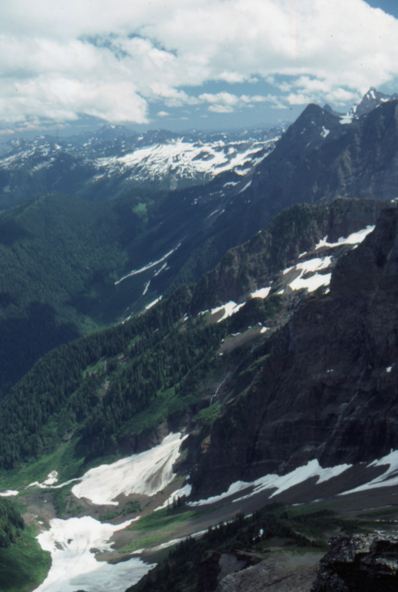
The view to the east from Cheam Peak summit - July 23, 1989.
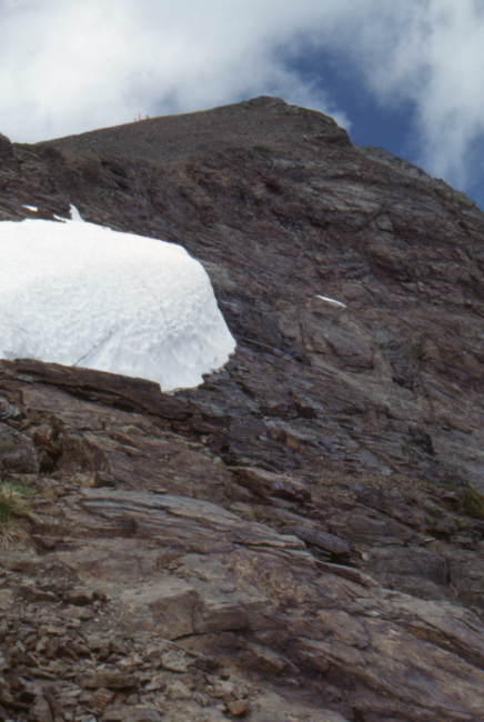
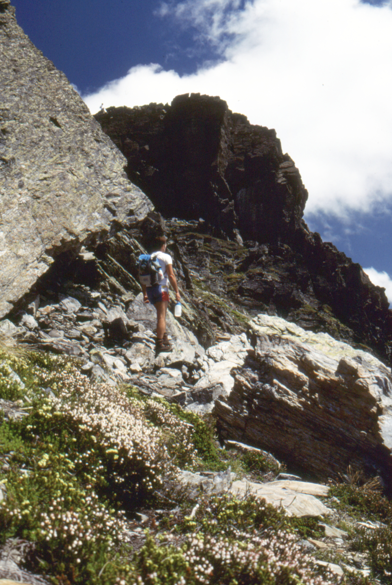
Looking back up at the summit from the Cheam Peak Bowl Trail,
with hikers to the left of the summit - July 23, 1989.
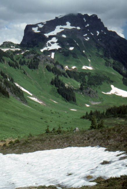
Lady Peak, from the ridge on the Cheam Peak Trail - July 23, 1989.
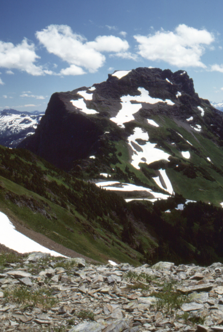
Lady Peak, from the Cheam Peak Trail - July 23, 1989.
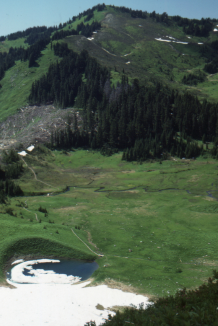
The Bowl Trail - July 23, 1989.
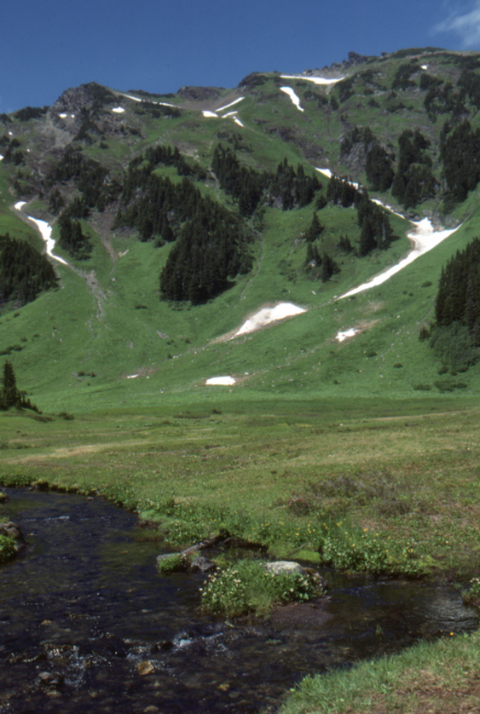
The Bowl Trail - July 23, 1989.
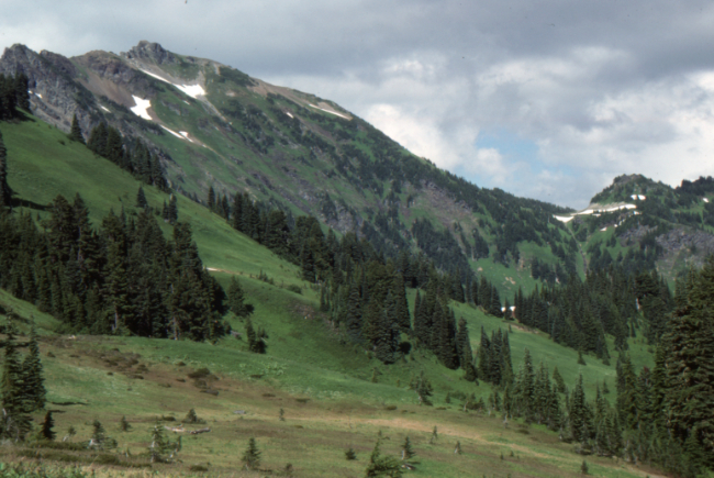
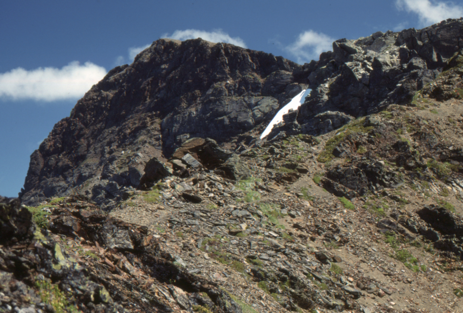
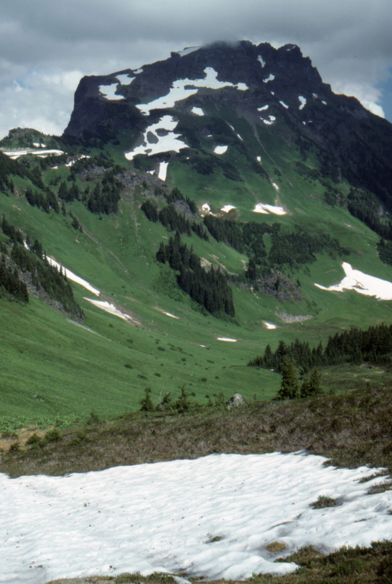
Looking up at Cheam Peak from the Bowl Trail - July 23, 1989.
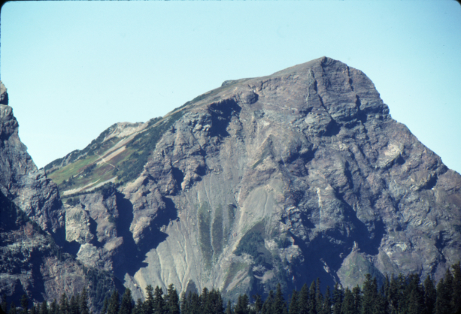
Cheam Peak and trail seen from the Lucky Four Mine Trail, September 1989.

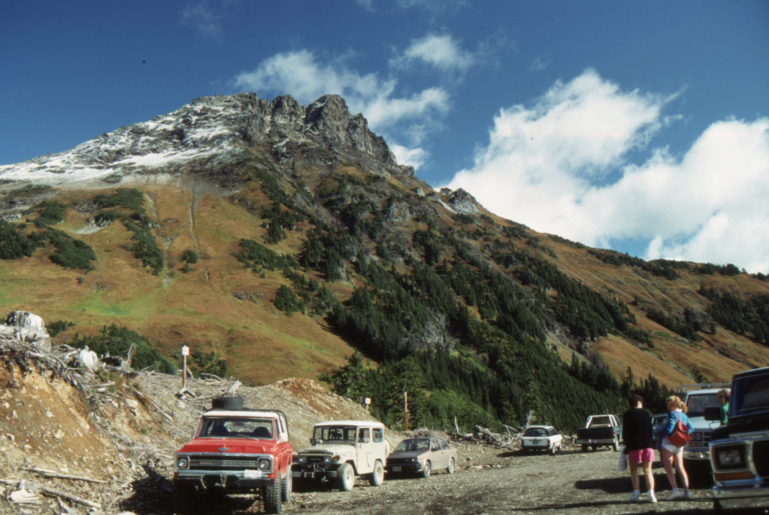
The trailhead parking lot for Cheam Peak Trail, with Lady Peak behind - October 2, 1989.
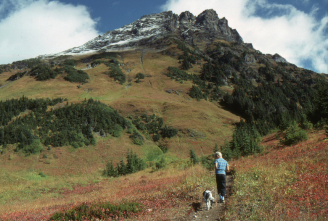
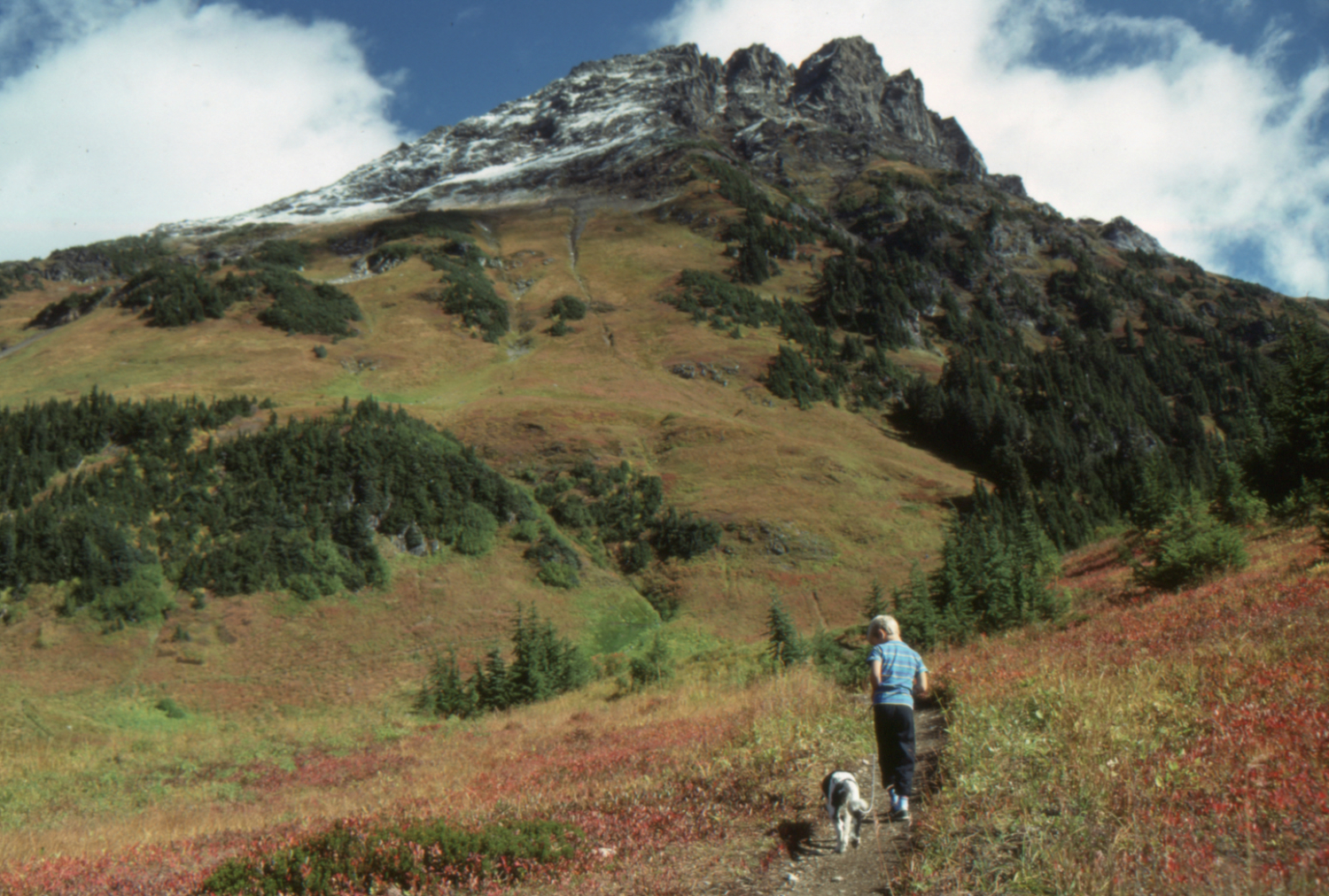
My son and our puppy Daisy on the Cheam Peak Trail, with Lady Peak dominating the view - October 2, 1989.

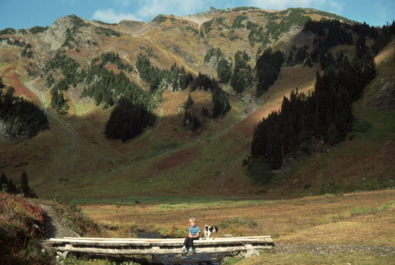
My son and our puppy Daisy in the Spoon Valley on the Cheam Peak Trail, with Lady Peak dominating the view - October 2, 1989.
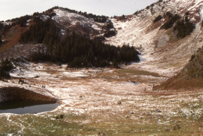
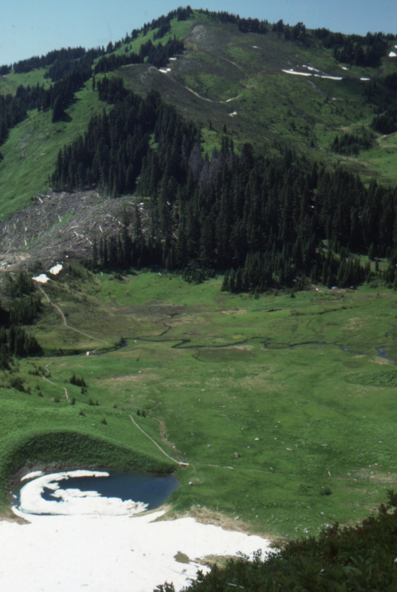
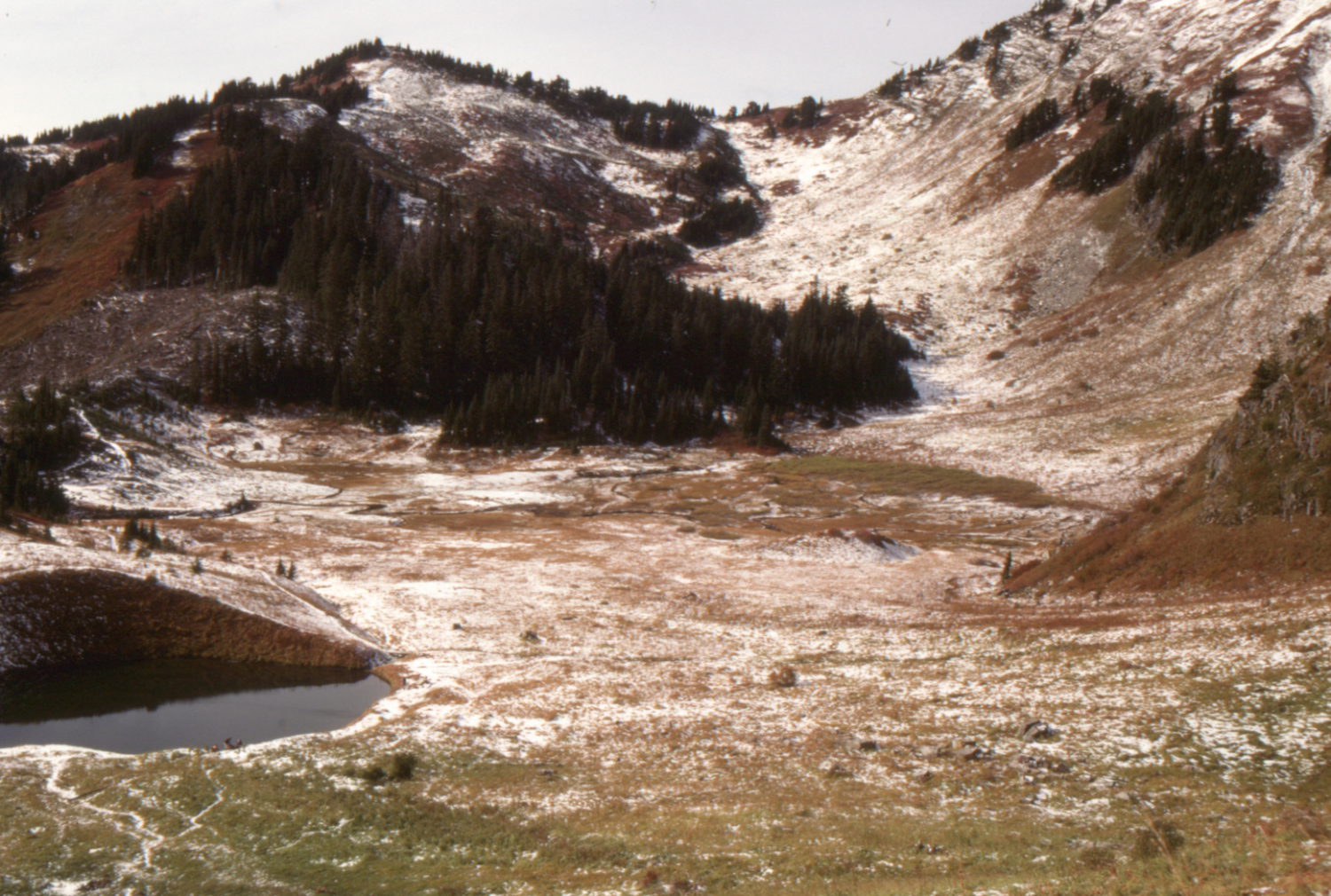
Spoon Lake, Cheam Peak Trail - October 15, 1989.
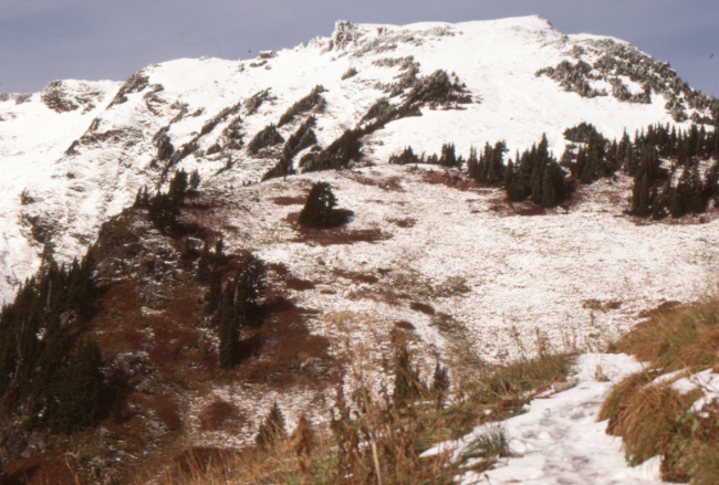
Cheam Peak from the Cheam Peak Trail - October 15, 1989.
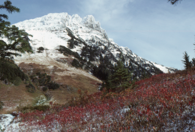
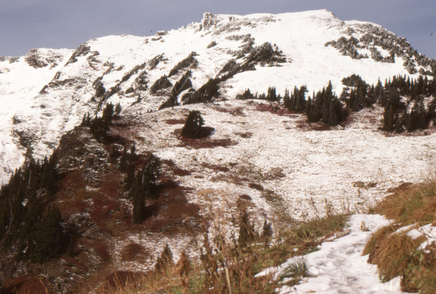
Lady Peak from the Cheam Peak Trail - October 15, 1989.
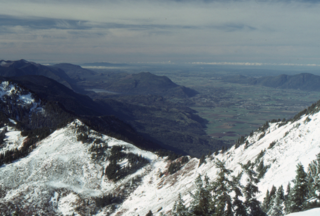
Cultus Lake, from the ridge on the Cheam Peak Trail - October 15, 1989.
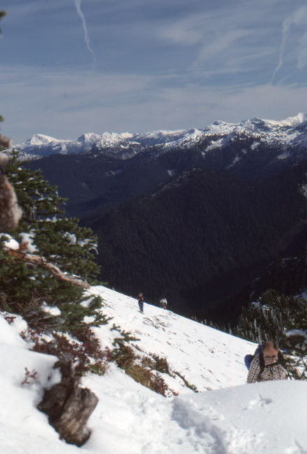
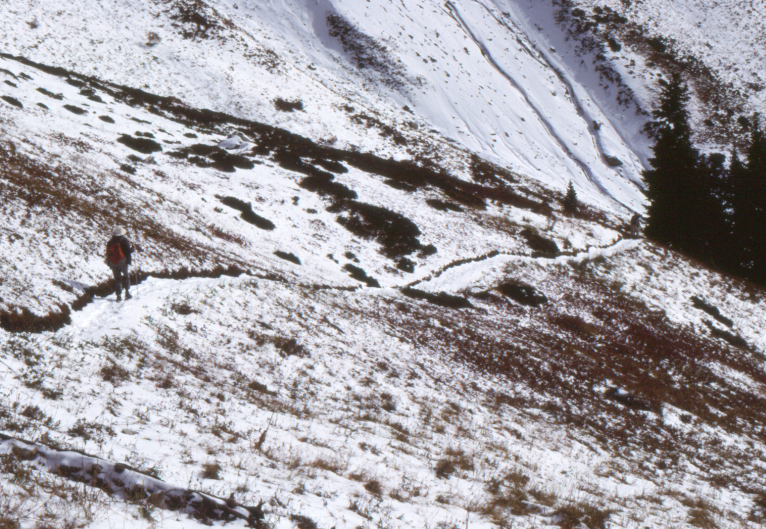
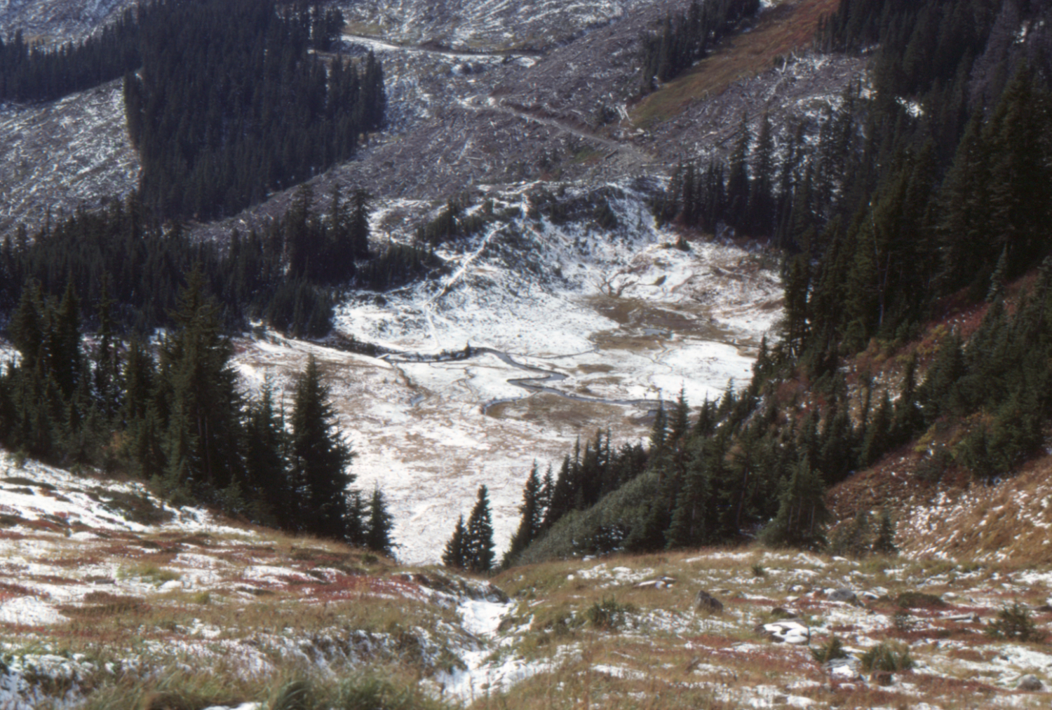
On the Cheam Peak Trail - October 15, 1989.
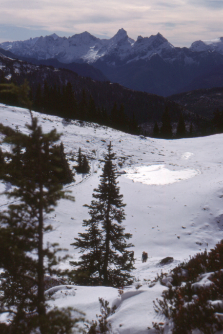
On the Cheam Peak Trail - October 15, 1989.
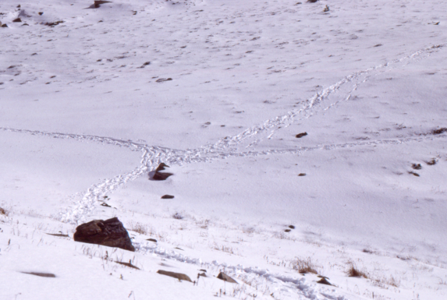
On the Cheam Peak Trail - October 15, 1989.
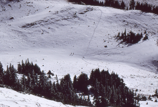
On the Cheam Peak Trail - October 15, 1989.
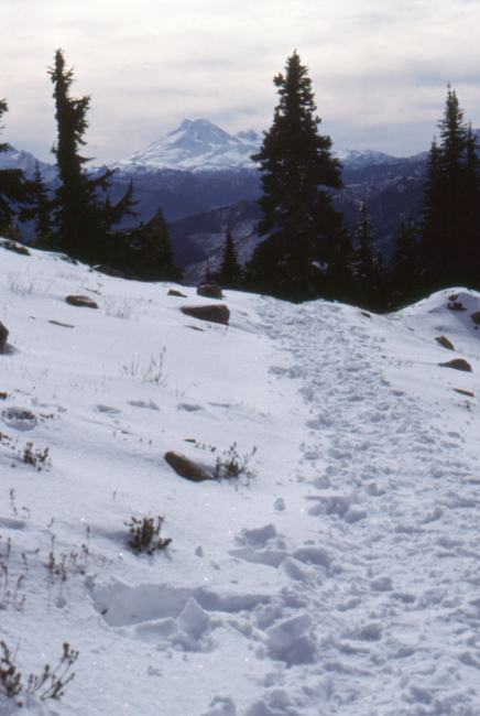
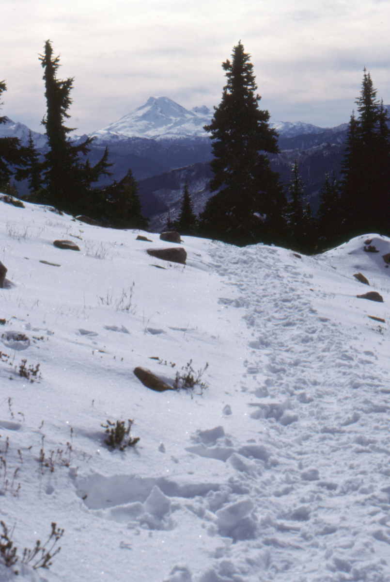
Looking south to Mount Baker, from the Cheam Peak Trail - October 15, 1989.

Looking south to Mount Baker, from the Cheam Peak Trail - October 15, 1989.
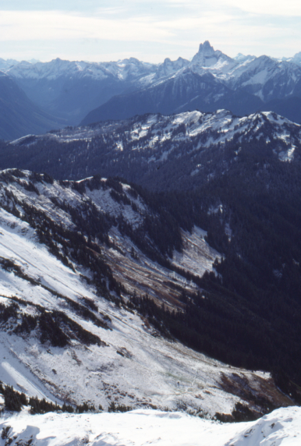
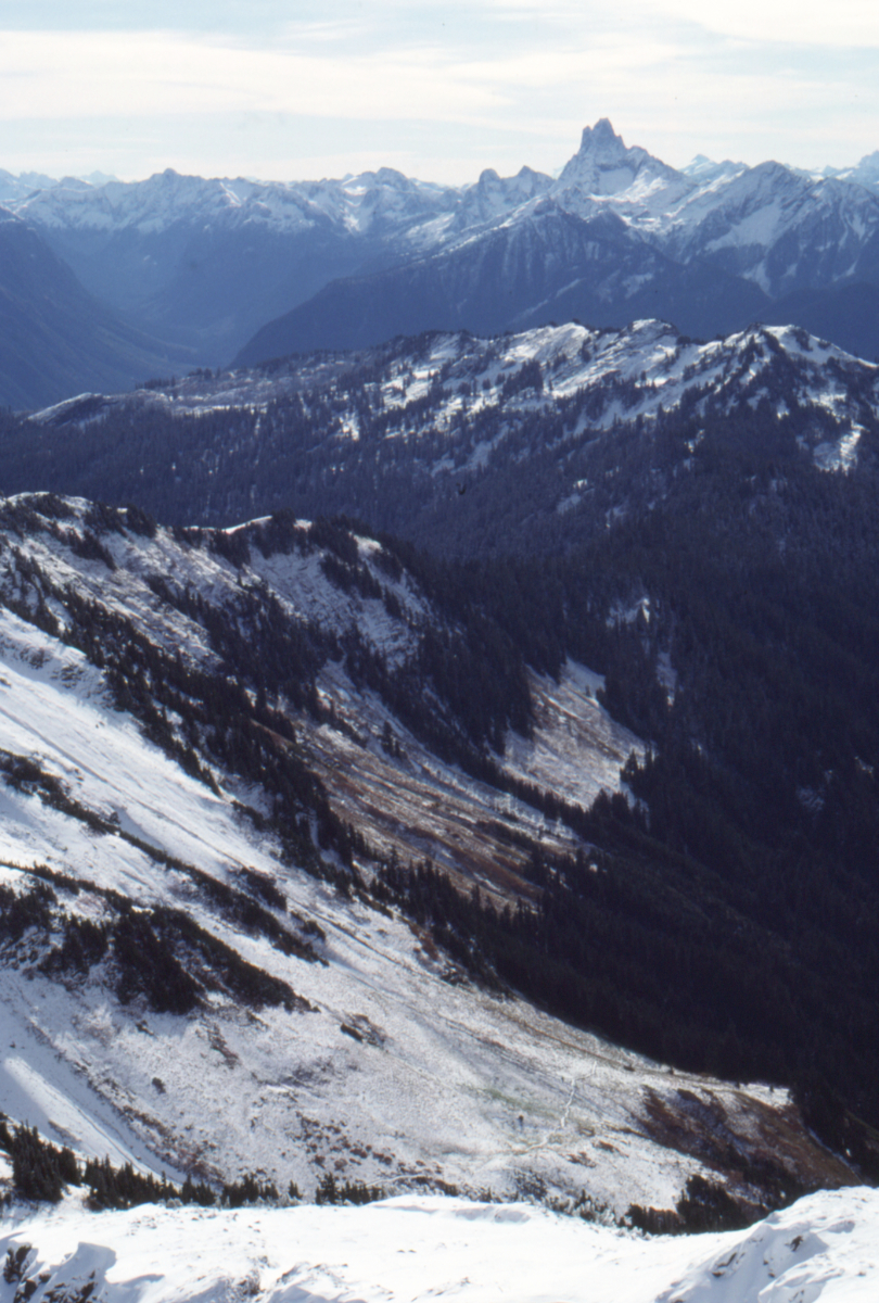
On the Cheam Peak Trail - October 15, 1989.
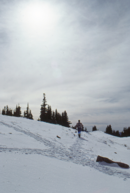
On the Cheam Peak Trail - October 15, 1989.
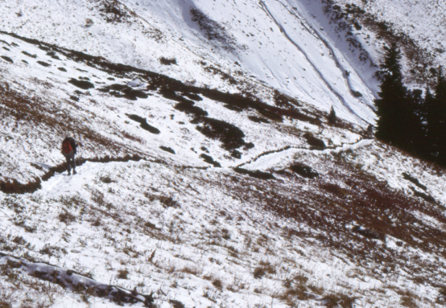
On the Cheam Peak Trail - October 15, 1989.
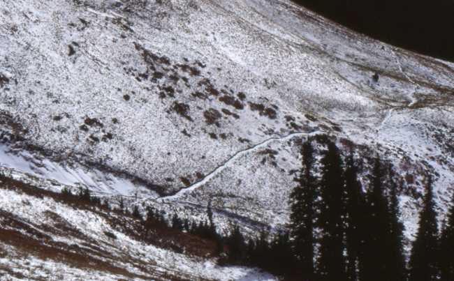
On the Cheam Peak Trail - October 15, 1989.
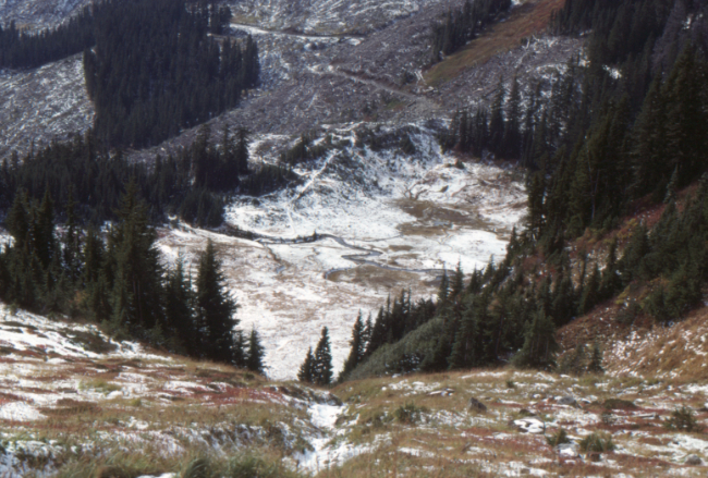
On the Cheam Peak Trail - October 15, 1989.
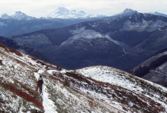
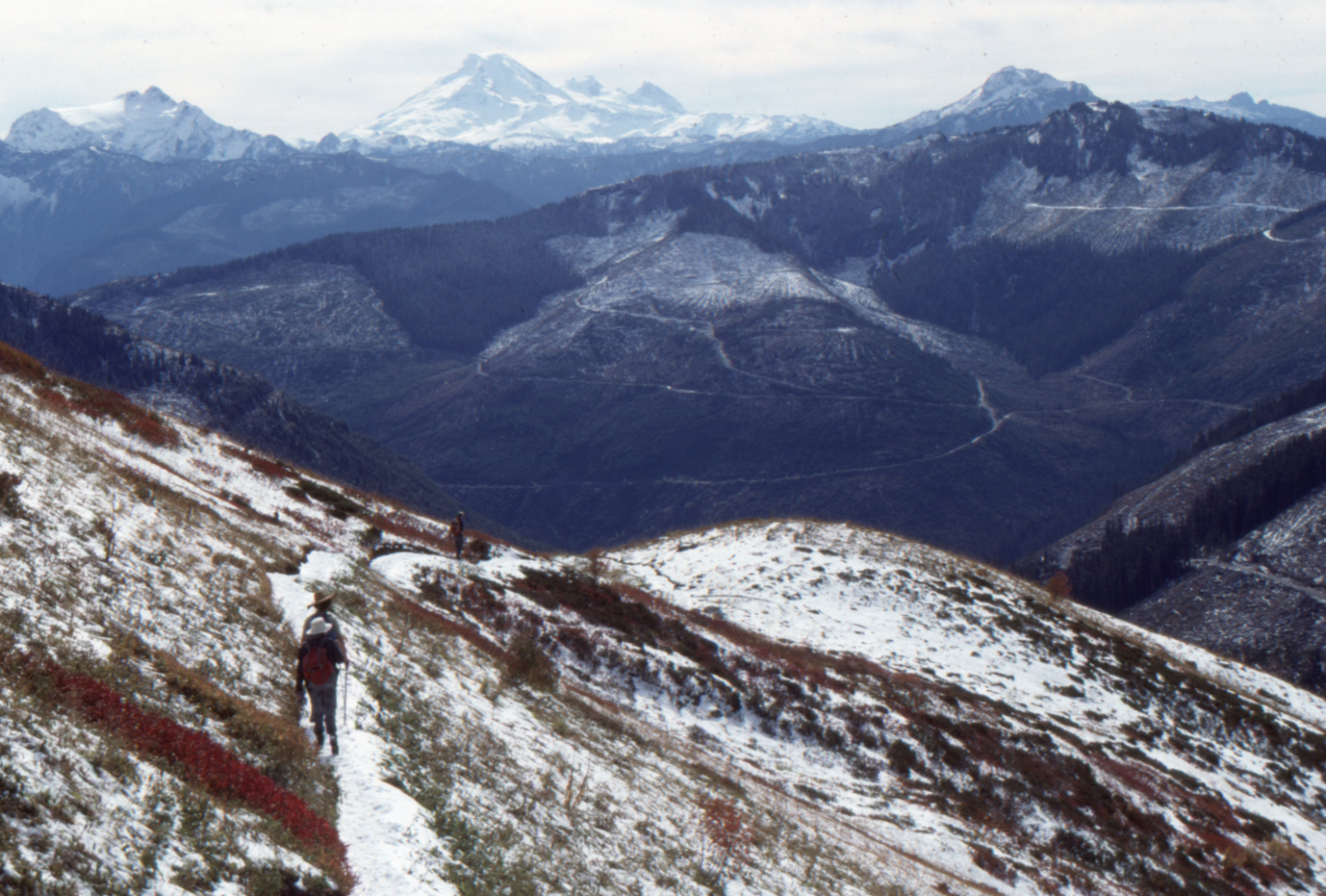
North Shore Hikers on the Cheam Peak Trail, with Mount Baker in the distance - October 15, 1989.

On the Cheam Peak Trail - October 15, 1989.
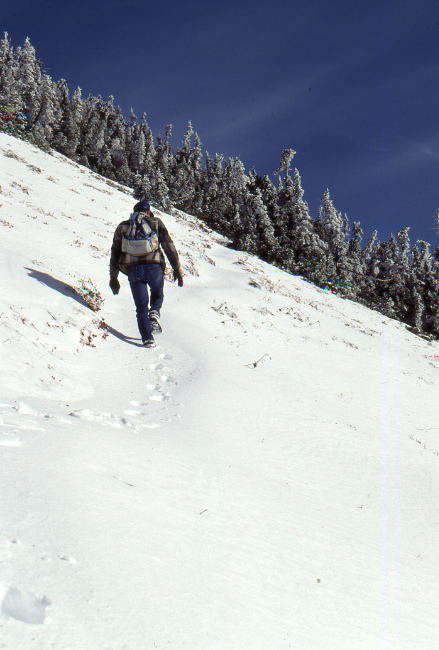
On the Cheam Peak Trail - October 15, 1989.
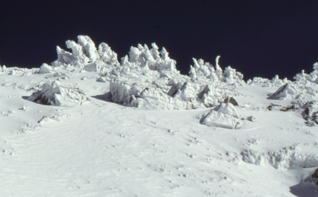
On the Cheam Peak Trail - October 15, 1989.
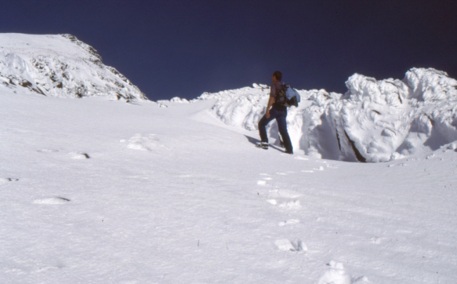
On the Cheam Peak Trail - October 15, 1989.
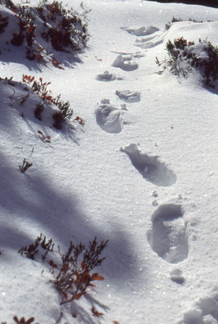
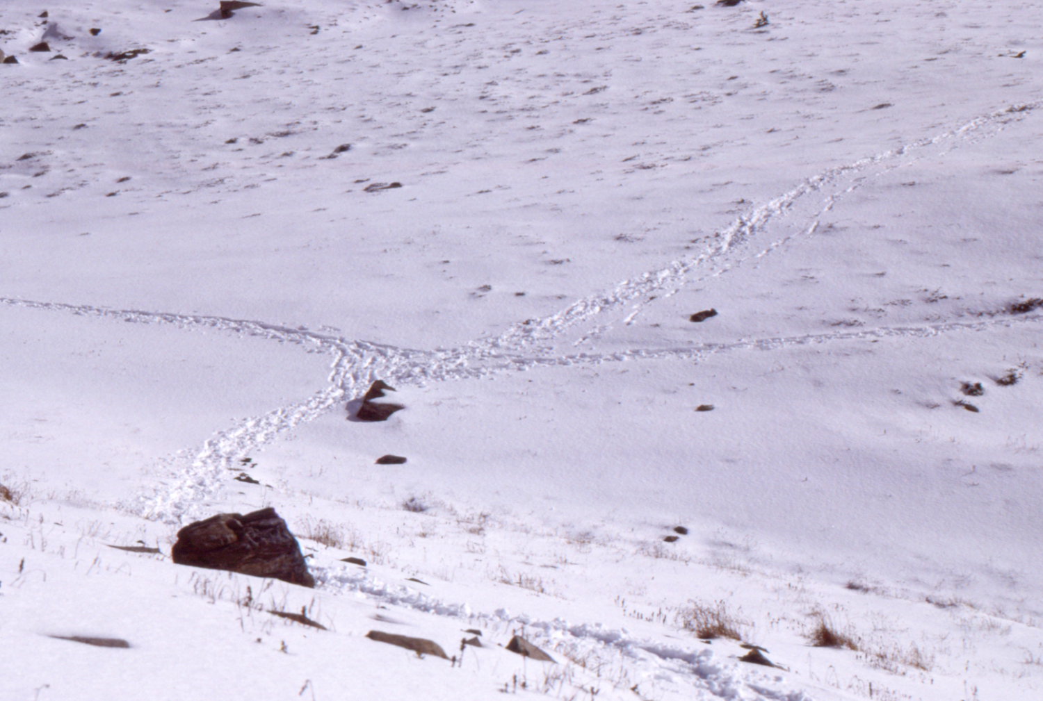
On the Cheam Peak Trail - October 15, 1989.
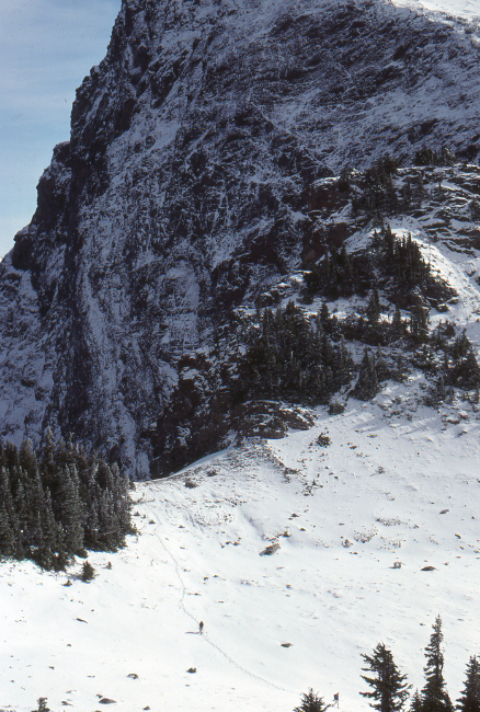
Lady Peak from the Cheam Peak Trail - note the 2 hikers at the bottom. October 15, 1989.
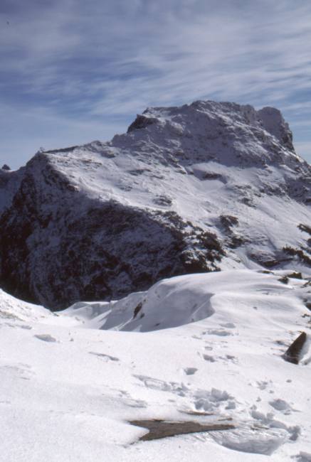
Lady Peak from the Cheam Peak Trail - October 15, 1989.

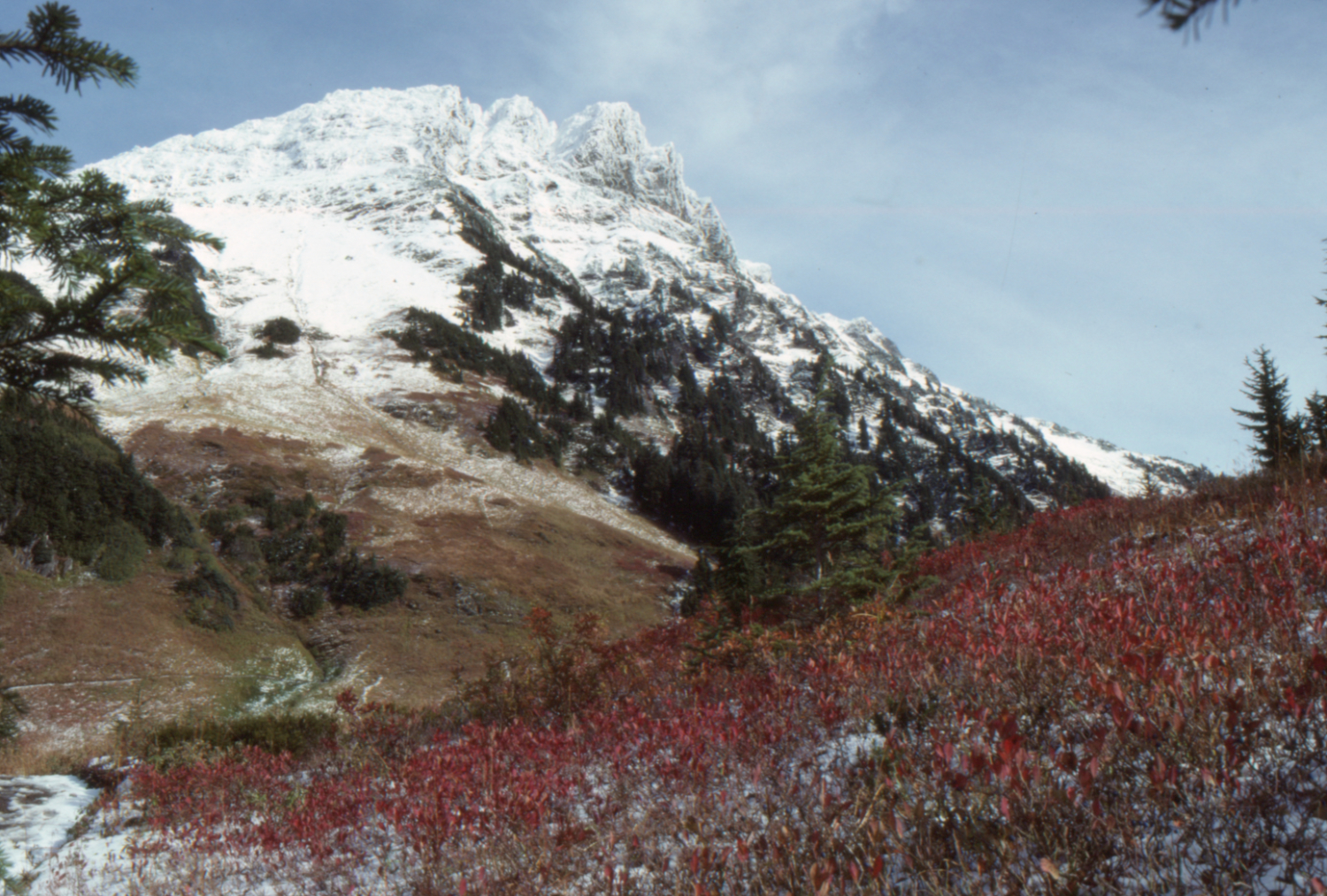
On the Cheam Peak Trail - October 15, 1989. This was the first image I ever sold - it became the photo for the 1990 Chilliwack Progress calendar.
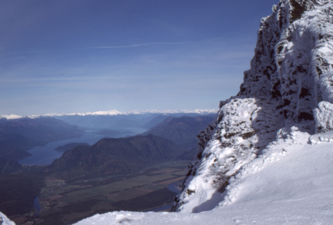
Harrison Lake - October 15, 1989.
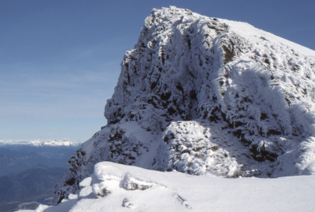
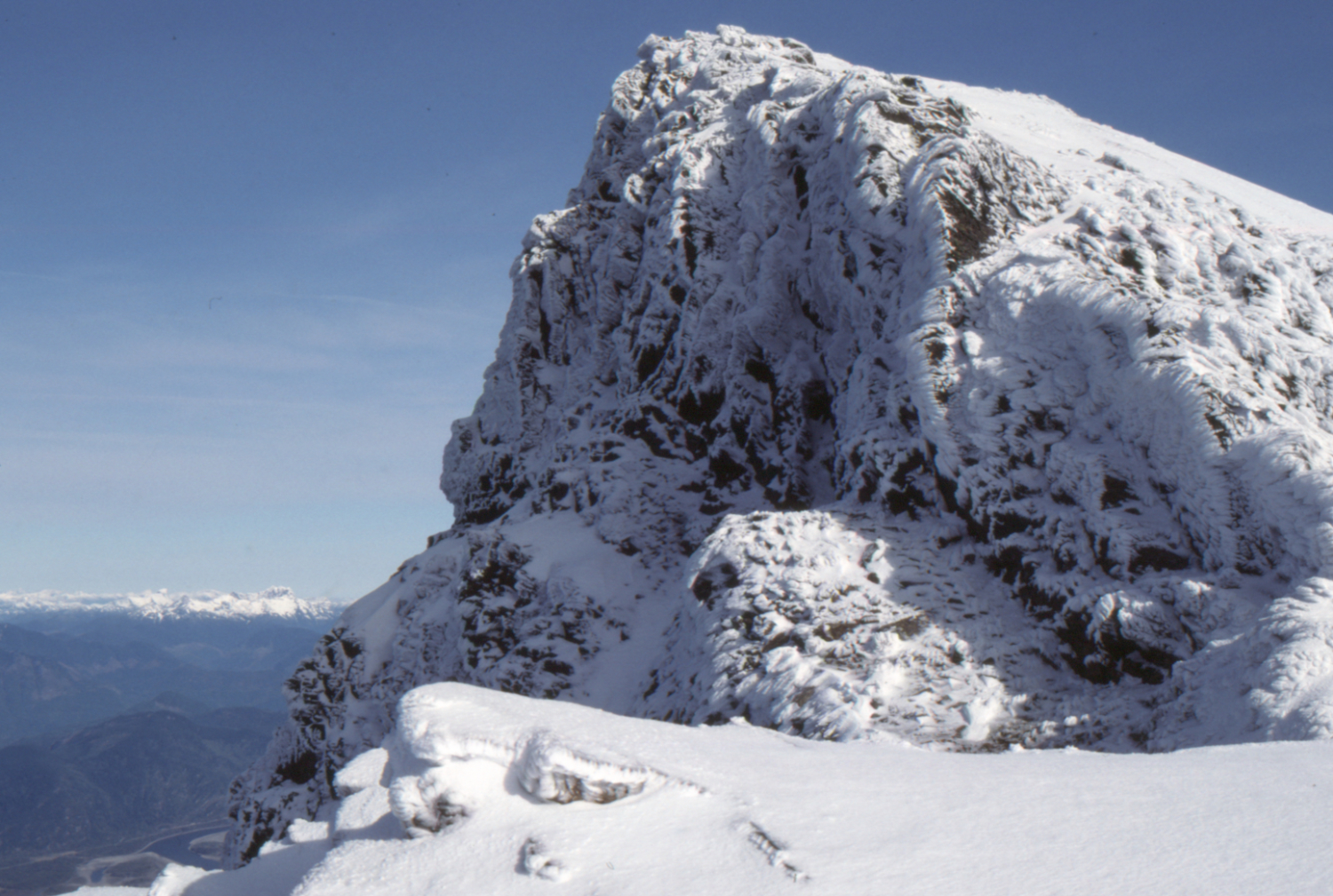
Cheam Peak - October 15, 1989.
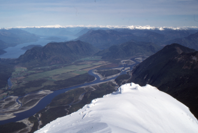
The view to the northwest from Cheam Peak - October 15, 1989. Harrison Lake is at the upper left.
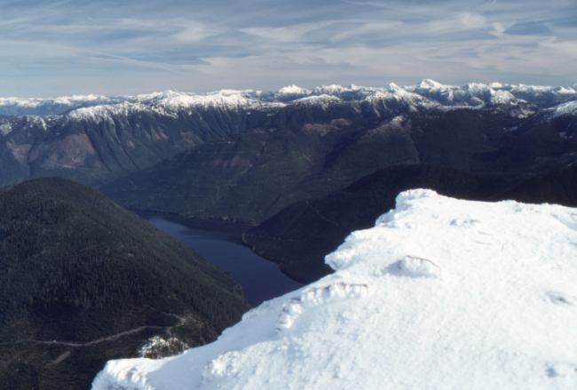
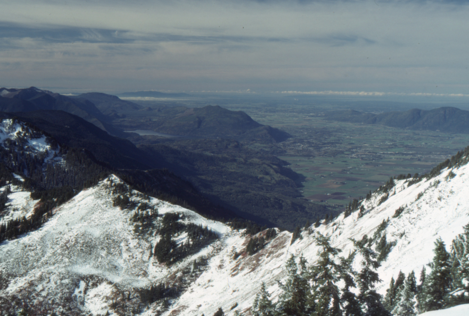
Wahleach Lake from Cheam Peak - October 15, 1989.
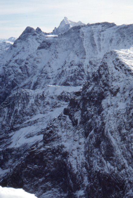
The view to the east from Cheam Peak, across the Cheam Range - October 15, 1989.